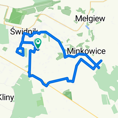
Spokojna jazda
- 18.1 km
- 158 m
- 175 m
- Świdnik, Lublin Voivodeship, Poland
Lasy Kozłowieckie
A cycling route starting in Świdnik, Lublin Voivodeship, Poland.
Overview
created this 7 years ago
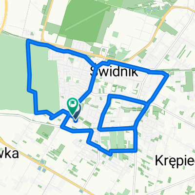
Part of
4 stages
Route quality
Quiet road
22 km
(37 %)
Road
17.9 km
(30 %)
Paved
38.1 km
(64 %)
Unpaved
8.3 km
(14 %)
Asphalt
34.5 km
(58 %)
Ground
6 km
(10 %)
Continue with Bikemap
You would like to ride petla Swidnik - Lasy Kozłowieckie or customize it for your own trip? Here is what you can do with this Bikemap route:
Free trial for 3 days, or one-time payment. More about Bikemap Premium.
Discover more Premium features.
Get Bikemap PremiumFrom our community
Open it in the app