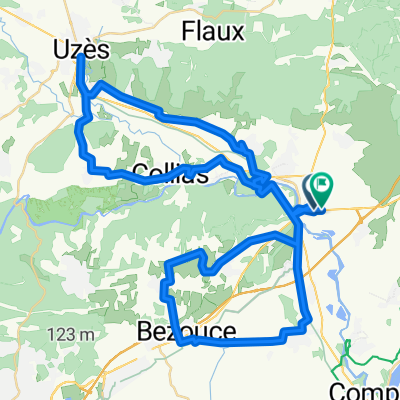
Provence 2004 1. Tag
A cycling route starting in Remoulins, Occitanie, France.
Overview
About this route
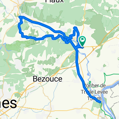
Ride from Remoulins (Start) along the main road to Cavaillon, then a marked bike path to Ménerbes, but I left the bike path due to an acute weakness phase (too much up and down) and took the boring national road to Apt.
- -:--
- Duration
- 83.3 km
- Distance
- 339 m
- Ascent
- 237 m
- Descent
- ---
- Avg. speed
- 126 m
- Max. altitude
Route quality
Waytypes & surfaces along the route
Waytypes
Quiet road
15 km
(18 %)
Road
13.3 km
(16 %)
Surfaces
Paved
57.5 km
(69 %)
Asphalt
57.5 km
(69 %)
Undefined
25.8 km
(31 %)
Continue with Bikemap
Use, edit, or download this cycling route
You would like to ride Provence 2004 1. Tag or customize it for your own trip? Here is what you can do with this Bikemap route:
Free features
- Save this route as favorite or in collections
- Copy & plan your own version of this route
- Split it into stages to create a multi-day tour
- Sync your route with Garmin or Wahoo
Premium features
Free trial for 3 days, or one-time payment. More about Bikemap Premium.
- Navigate this route on iOS & Android
- Export a GPX / KML file of this route
- Create your custom printout (try it for free)
- Download this route for offline navigation
Discover more Premium features.
Get Bikemap PremiumFrom our community
Other popular routes starting in Remoulins
- Provence 2004 1. Tag
- Distance
- 83.3 km
- Ascent
- 339 m
- Descent
- 237 m
- Location
- Remoulins, Occitanie, France
- Route 2 Remoulins - Les Beaux
- Distance
- 91.5 km
- Ascent
- 444 m
- Descent
- 444 m
- Location
- Remoulins, Occitanie, France
- Fournès to Maussane-les-Alpilles
- Distance
- 44.5 km
- Ascent
- 176 m
- Descent
- 193 m
- Location
- Remoulins, Occitanie, France
- Remoulins-Sète132KM240u6h45via Nîmes- Montpellier
- Distance
- 132.1 km
- Ascent
- 256 m
- Descent
- 183 m
- Location
- Remoulins, Occitanie, France
- route 3 remoulins
- Distance
- 81.8 km
- Ascent
- 640 m
- Descent
- 640 m
- Location
- Remoulins, Occitanie, France
- Day 4 (REWORKED)
- Distance
- 56.6 km
- Ascent
- 306 m
- Descent
- 204 m
- Location
- Remoulins, Occitanie, France
- remoulins 64
- Distance
- 64.1 km
- Ascent
- 513 m
- Descent
- 506 m
- Location
- Remoulins, Occitanie, France
- Fournès - Circle to Écluse de Vallabrègues
- Distance
- 49.8 km
- Ascent
- 211 m
- Descent
- 210 m
- Location
- Remoulins, Occitanie, France
Open it in the app