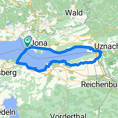
Rapperswil - Forch - Eigental - Irchel - Rumstal - Seegräben - Rapperswil
A cycling route starting in Rapperswil, Canton of St. Gallen, Switzerland.
Overview
About this route
Landschaftlich abwechslungsreiche und leicht coupierte Route. Von Rapperswil über die Forch, dem Greifensee entlang, durch das (nun wieder geöffnete) Eigental nach Pfungen, über den Irchel nach Flaach. Rückweg via Rumstal und Kempthal nach Fehraltdorf und über Seegräben zurück.
- -:--
- Duration
- 120.1 km
- Distance
- 944 m
- Ascent
- 942 m
- Descent
- ---
- Avg. speed
- ---
- Avg. speed
Route photos
Route quality
Waytypes & surfaces along the route
Waytypes
Road
41.5 km
(35 %)
Path
24.2 km
(20 %)
Surfaces
Paved
104.4 km
(87 %)
Unpaved
0.8 km
(<1 %)
Asphalt
100.4 km
(84 %)
Paved (undefined)
2.1 km
(2 %)
Continue with Bikemap
Use, edit, or download this cycling route
You would like to ride Rapperswil - Forch - Eigental - Irchel - Rumstal - Seegräben - Rapperswil or customize it for your own trip? Here is what you can do with this Bikemap route:
Free features
- Save this route as favorite or in collections
- Copy & plan your own version of this route
- Sync your route with Garmin or Wahoo
Premium features
Free trial for 3 days, or one-time payment. More about Bikemap Premium.
- Navigate this route on iOS & Android
- Export a GPX / KML file of this route
- Create your custom printout (try it for free)
- Download this route for offline navigation
Discover more Premium features.
Get Bikemap PremiumFrom our community
Other popular routes starting in Rapperswil
- Day 4: Queens Stage
- Distance
- 94.8 km
- Ascent
- 0 m
- Descent
- 0 m
- Location
- Rapperswil, Canton of St. Gallen, Switzerland
- Challenge Tour: Rapperswil - Feldkirch
- Distance
- 95.9 km
- Ascent
- 138 m
- Descent
- 88 m
- Location
- Rapperswil, Canton of St. Gallen, Switzerland
- Schönbodenstrasse 56, Rapperswil-Jona nach Schönbodenstrasse 56, Rapperswil-Jona
- Distance
- 38.5 km
- Ascent
- 293 m
- Descent
- 293 m
- Location
- Rapperswil, Canton of St. Gallen, Switzerland
- Schönbodenweg 54, Rapperswil-Jona nach Schönbodenweg 54, Rapperswil-Jona
- Distance
- 31.3 km
- Ascent
- 321 m
- Descent
- 320 m
- Location
- Rapperswil, Canton of St. Gallen, Switzerland
- Day 6: Turbental
- Distance
- 83 km
- Ascent
- 0 m
- Descent
- 0 m
- Location
- Rapperswil, Canton of St. Gallen, Switzerland
- Sattelegg - Ibergeregg - Zugersee
- Distance
- 117.9 km
- Ascent
- 1,857 m
- Descent
- 1,858 m
- Location
- Rapperswil, Canton of St. Gallen, Switzerland
- Rapperswil-Jona nach Rhein (Zweidlen). Neu: "Geheimer" Gleisweg Eglisau - Zweidlen (eine Verlängerung in den Schatten). Achtung: Beim Hochwasser: überflütet
- Distance
- 67.2 km
- Ascent
- 749 m
- Descent
- 803 m
- Location
- Rapperswil, Canton of St. Gallen, Switzerland
- Rapperswil-Sass da Grüm
- Distance
- 270.6 km
- Ascent
- 2,119 m
- Descent
- 2,064 m
- Location
- Rapperswil, Canton of St. Gallen, Switzerland