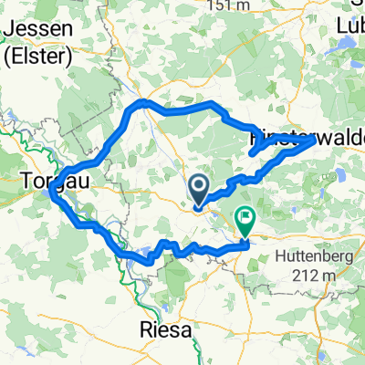
Chemnitz-Usedom; 2.Etappe
- 126.9 km
- 149 m
- 203 m
- Bad Liebenwerda, Brandenburg, Germany
A cycling route starting in Bad Liebenwerda, Brandenburg, Germany.
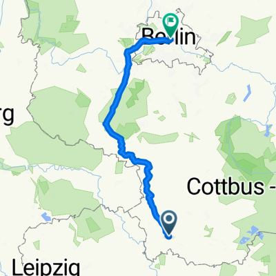
Overview
created this 7 years ago
Route quality
Quiet road
32.8 km
(21 %)
Road
12.5 km
(8 %)
Paved
123.5 km
(79 %)
Unpaved
7.8 km
(5 %)
Asphalt
118.8 km
(76 %)
Gravel
4.7 km
(3 %)
Continue with Bikemap
You would like to ride 25 Jahre SUN-SPORT-TEAM die Kurze or customize it for your own trip? Here is what you can do with this Bikemap route:
Free trial for 3 days, or one-time payment. More about Bikemap Premium.
Discover more Premium features.
Get Bikemap PremiumFrom our community
Open it in the app