しぐれういデジタルスタンプラリー
- 99.7 km
- 1,084 m
- 1,138 m
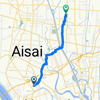
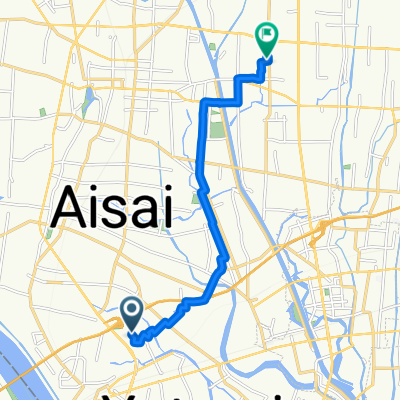
- Aisai, Aichi, Japan
A cycling route starting in Aisai, Aichi, Japan.
Overview
created this 7 years ago
Route quality
Quiet road
3.9 km
(69 %)
Road
1.5 km
(26 %)
Paved
1.8 km
(31 %)
Paved (undefined)
1.8 km
(31 %)
Undefined
3.9 km
(69 %)
Continue with Bikemap
You would like to ride 弥富111 or customize it for your own trip? Here is what you can do with this Bikemap route:
Free trial for 3 days, or one-time payment. More about Bikemap Premium.
Discover more Premium features.
Get Bikemap PremiumFrom our community
Open it in the app