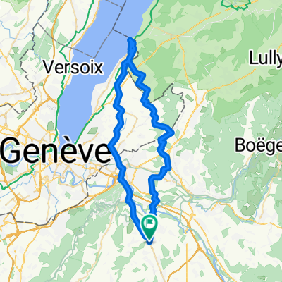
RECO Croix-Fry/ Gli猫res
A cycling route starting in Reignier-脡sery, Auvergne-Rh么ne-Alpes, France.
Overview
About this route
- -:--
- Duration
- 137.1 km
- Distance
- 2,454 m
- Ascent
- 2,454 m
- Descent
- ---
- Avg. speed
- ---
- Avg. speed
Route quality
Waytypes & surfaces along the route
Waytypes
Busy road
64.9 km
(47 %)
Road
43.3 km
(32 %)
Surfaces
Paved
86.2 km
(63 %)
Unpaved
2.6 km
(2 %)
Asphalt
86.1 km
(63 %)
Loose gravel
1.6 km
(1 %)
Continue with Bikemap
Use, edit, or download this cycling route
You would like to ride RECO Croix-Fry/ Gli猫res or customize it for your own trip? Here is what you can do with this Bikemap route:
Free features
- Save this route as favorite or in collections
- Copy & plan your own version of this route
- Sync your route with Garmin or Wahoo
Premium features
Free trial for 3 days, or one-time payment. More about Bikemap Premium.
- Navigate this route on iOS & Android
- Export a GPX / KML file of this route
- Create your custom printout (try it for free)
- Download this route for offline navigation
Discover more Premium features.
Get Bikemap PremiumFrom our community
Other popular routes starting in Reignier-脡sery
- Dag 0b Reignier-Yvoire 75km
- Distance
- 74.6 km
- Ascent
- 375 m
- Descent
- 376 m
- Location
- Reignier-脡sery, Auvergne-Rh么ne-Alpes, France
- Dag 0a Reignier-Hermance 52km
- Distance
- 52.3 km
- Ascent
- 354 m
- Descent
- 355 m
- Location
- Reignier-脡sery, Auvergne-Rh么ne-Alpes, France
- La Grande Automnale
- Distance
- 182.5 km
- Ascent
- 3,294 m
- Descent
- 2,316 m
- Location
- Reignier-脡sery, Auvergne-Rh么ne-Alpes, France
- 1988 - Tour de France - 03. Tag - L'Eculaz - Montm茅lian
- Distance
- 126.2 km
- Ascent
- 774 m
- Descent
- 931 m
- Location
- Reignier-脡sery, Auvergne-Rh么ne-Alpes, France
- 08/12/2022
- Distance
- 8.3 km
- Ascent
- 34 m
- Descent
- 35 m
- Location
- Reignier-脡sery, Auvergne-Rh么ne-Alpes, France
- Dag 1 Reignier- La Clusac 86km
- Distance
- 86 km
- Ascent
- 1,920 m
- Descent
- 1,390 m
- Location
- Reignier-脡sery, Auvergne-Rh么ne-Alpes, France
- La Grande Automnale 2018
- Distance
- 202.7 km
- Ascent
- 4,059 m
- Descent
- 3,044 m
- Location
- Reignier-脡sery, Auvergne-Rh么ne-Alpes, France
- reignier
- Distance
- 5.1 km
- Ascent
- 250 m
- Descent
- 50 m
- Location
- Reignier-脡sery, Auvergne-Rh么ne-Alpes, France
Open it in the app