
aravis- croix fry
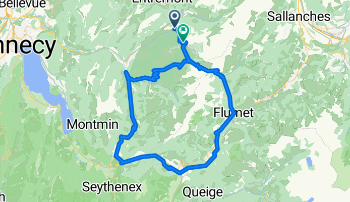
A cycling route starting in Saint-Jean-de-Sixt, Auvergne-Rhône-Alpes, France.
Overview
About this route
- -:--
- Duration
- 80.5 km
- Distance
- 1,823 m
- Ascent
- 1,730 m
- Descent
- ---
- Avg. speed
- ---
- Avg. speed

Route quality
Waytypes & surfaces along the route
Waytypes
Busy road
66.6 km
(83 %)
Cycleway
6.1 km
(8 %)
Surfaces
Paved
52.7 km
(65 %)
Asphalt
52.6 km
(65 %)
Paving stones
0 km
(<1 %)
Undefined
27.9 km
(35 %)
Continue with Bikemap
Use, edit, or download this cycling route
You would like to ride aravis- croix fry or customize it for your own trip? Here is what you can do with this Bikemap route:
Free features
- Save this route as favorite or in collections
- Copy & plan your own version of this route
- Split it into stages to create a multi-day tour
- Sync your route with Garmin or Wahoo
Premium features
Free trial for 3 days, or one-time payment. More about Bikemap Premium.
- Navigate this route on iOS & Android
- Export a GPX / KML file of this route
- Create your custom printout (try it for free)
- Download this route for offline navigation
Discover more Premium features.
Get Bikemap PremiumFrom our community
Other popular routes starting in Saint-Jean-de-Sixt
 ARAVIS - CROIX FRY
- Distance
- 82.7 km
- Ascent
- 1,721 m
- Descent
- 1,721 m
- Location
- Saint-Jean-de-Sixt, Auvergne-Rhône-Alpes, France
 Col des Aravis loop return via Col de la Croix Fry
- Distance
- 80.5 km
- Ascent
- 1,825 m
- Descent
- 1,732 m
- Location
- Saint-Jean-de-Sixt, Auvergne-Rhône-Alpes, France
 RdGA - Stage 2 (Var. Col des Saisies via Crest Voland)
- Distance
- 93.6 km
- Ascent
- 2,556 m
- Descent
- 2,701 m
- Location
- Saint-Jean-de-Sixt, Auvergne-Rhône-Alpes, France
 RdGA - Stage 2 (Var. C.d.Saisies en Var. Roselend via Col du Pre)
- Distance
- 98.6 km
- Ascent
- 2,648 m
- Descent
- 2,793 m
- Location
- Saint-Jean-de-Sixt, Auvergne-Rhône-Alpes, France
 La Clusaz - Aosta (ITA)
- Distance
- 209 km
- Ascent
- 4,543 m
- Descent
- 4,893 m
- Location
- Saint-Jean-de-Sixt, Auvergne-Rhône-Alpes, France
 20220916 VTT à Glières
- Distance
- 26.9 km
- Ascent
- 805 m
- Descent
- 801 m
- Location
- Saint-Jean-de-Sixt, Auvergne-Rhône-Alpes, France
 Route des Grandes Alpes - Stage 2
- Distance
- 94 km
- Ascent
- 2,519 m
- Descent
- 2,637 m
- Location
- Saint-Jean-de-Sixt, Auvergne-Rhône-Alpes, France
 Cols Forclaz, Sosay, and Cenise
- Distance
- 29.1 km
- Ascent
- 1,271 m
- Descent
- 1,273 m
- Location
- Saint-Jean-de-Sixt, Auvergne-Rhône-Alpes, France
Open it in the app