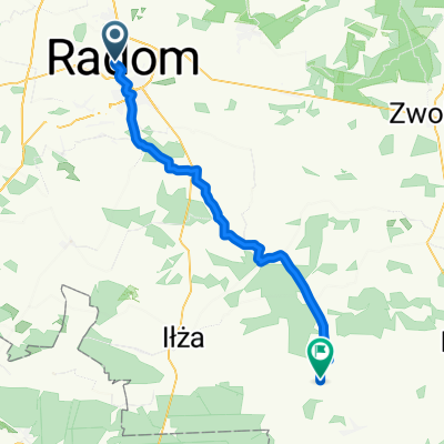
Szybka popołudniowa sześćdziesiątka
- 59.8 km
- 168 m
- 166 m
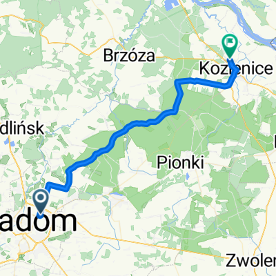
- Radom, Masovian Voivodeship, Poland
A cycling route starting in Radom, Masovian Voivodeship, Poland.
Overview
Radom (PKP station-9) – Makowiec – Skaryszew (733) – Oddechów – Dębniak – Pawliczka – Rzeczniów – Grechów – Sienno – Trzemcha Dolna – Trzemcha Górna – Antoniów – Bałtów (754) – Rudka Bałtowska – Maksymilianów – Sudoł – OSTROWIEC ŚWIĘTOKRZYSKI (Świętokrzyska-Staszica-Wiejska-Wąwozy Street-9) – Miłków – Rzucuchów – Sadowie – OPATÓW (757) – OPATÓW (roadside)
created this 7 years ago
Route quality
Quiet road
12.6 km
(14 %)
Road
10.8 km
(12 %)
Paved
70.2 km
(78 %)
Asphalt
69.3 km
(77 %)
Paved (undefined)
0.9 km
(1 %)
Undefined
19.8 km
(22 %)
Route highlights
Continue with Bikemap
You would like to ride Skarżysko-Kamienna 2018 dzień 1 or customize it for your own trip? Here is what you can do with this Bikemap route:
Free trial for 3 days, or one-time payment. More about Bikemap Premium.
Discover more Premium features.
Get Bikemap PremiumFrom our community
Open it in the app