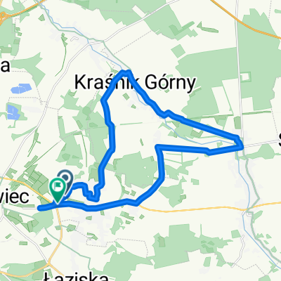
Kruszyn Kraśnik
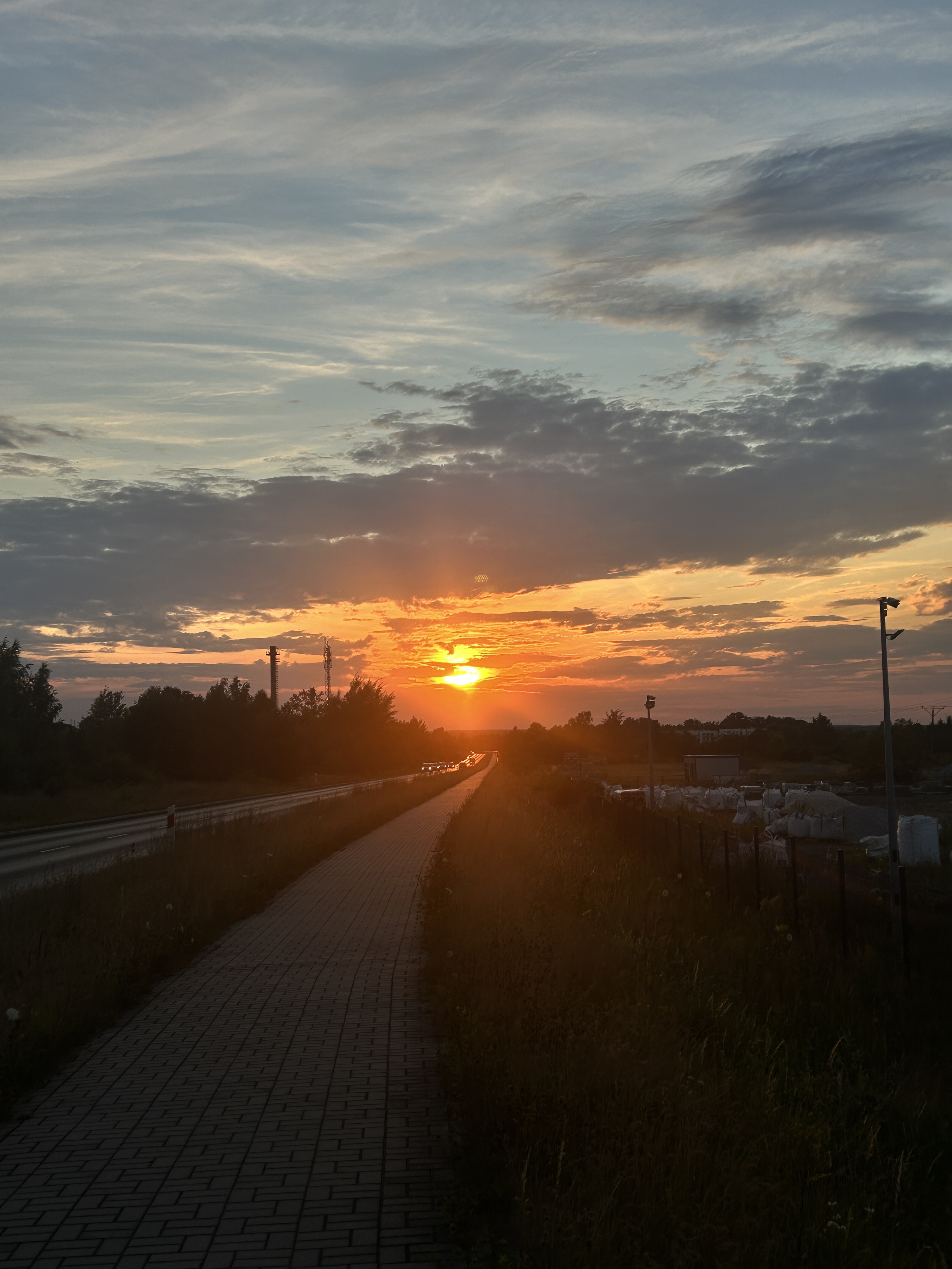
A cycling route starting in Bolesławiec, Lower Silesian Voivodeship, Poland.
Overview
About this route
Lekka i przyjemna trasa po asfalcie z małym ruchem
- -:--
- Duration
- 19.4 km
- Distance
- 95 m
- Ascent
- 85 m
- Descent
- ---
- Avg. speed
- ---
- Avg. speed
Route quality
Waytypes & surfaces along the route
Waytypes
Quiet road
13.1 km
(67 %)
Busy road
2.6 km
(14 %)
Surfaces
Paved
5.9 km
(30 %)
Asphalt
5.4 km
(28 %)
Paved (undefined)
0.5 km
(3 %)
Undefined
13.5 km
(70 %)
Continue with Bikemap
Use, edit, or download this cycling route
You would like to ride Kruszyn Kraśnik or customize it for your own trip? Here is what you can do with this Bikemap route:
Free features
- Save this route as favorite or in collections
- Copy & plan your own version of this route
- Sync your route with Garmin or Wahoo
Premium features
Free trial for 3 days, or one-time payment. More about Bikemap Premium.
- Navigate this route on iOS & Android
- Export a GPX / KML file of this route
- Create your custom printout (try it for free)
- Download this route for offline navigation
Discover more Premium features.
Get Bikemap PremiumFrom our community
Other popular routes starting in Bolesławiec
- Bolesławiec - Suszki petla poludniowa
- Distance
- 31.6 km
- Ascent
- 214 m
- Descent
- 221 m
- Location
- Bolesławiec, Lower Silesian Voivodeship, Poland
- Rynek 41, Bolesławiec do Kliczków 8, Osiecznica
- Distance
- 19.5 km
- Ascent
- 100 m
- Descent
- 129 m
- Location
- Bolesławiec, Lower Silesian Voivodeship, Poland
- Bolesławiec - Legnica
- Distance
- 61.2 km
- Ascent
- 116 m
- Descent
- 188 m
- Location
- Bolesławiec, Lower Silesian Voivodeship, Poland
- Antywyprawka 5 2018
- Distance
- 164.2 km
- Ascent
- 726 m
- Descent
- 727 m
- Location
- Bolesławiec, Lower Silesian Voivodeship, Poland
- Okolice Bolesławca
- Distance
- 389.9 km
- Ascent
- 1,808 m
- Descent
- 1,808 m
- Location
- Bolesławiec, Lower Silesian Voivodeship, Poland
- Rajd Muzeum 25/07
- Distance
- 27 km
- Ascent
- 119 m
- Descent
- 140 m
- Location
- Bolesławiec, Lower Silesian Voivodeship, Poland
- Szlak im. Leona Piątkowskiego pętla północna
- Distance
- 28.3 km
- Ascent
- 160 m
- Descent
- 171 m
- Location
- Bolesławiec, Lower Silesian Voivodeship, Poland
- Kruszyn - Zgorzelec
- Distance
- 70.8 km
- Ascent
- 343 m
- Descent
- 333 m
- Location
- Bolesławiec, Lower Silesian Voivodeship, Poland
Open it in the app