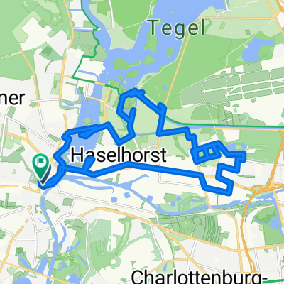
Berlin-Tour
A cycling route starting in Spandau, State of Berlin, Germany.
Overview
About this route
- Long-distance cycling route Hamburg - Berlin
- North Sea Coast Cycle Route 2 Hamburg - Stade
- Stade - Warsingsfehn
- -:--
- Duration
- 651.5 km
- Distance
- 195 m
- Ascent
- 230 m
- Descent
- ---
- Avg. speed
- ---
- Max. altitude
Route highlights
Points of interest along the route
- Accommodation after 8.8 km- <strong>Übernachtung, (Privat Siemensstadt)</strong> 
- Point of interest after 63 km- <strong>Pause: "Im Wald vor Pausin"</strong> 
- Point of interest after 133 km- <strong>Pause: TIMM´s Café, Rathenow</strong> 
- Point of interest after 381.9 km- <strong>Pause: Rastplatz Kirchwerder</strong> 
- Point of interest after 515.8 km- <strong>Pause: Bäckerei, Bokel</strong> 
- Point of interest after 543.9 km- <strong>Pause: Gasthaus Seghorn, Brake</strong> 
- Accommodation after 563.5 km- <strong>Private Übernachtung, Hude</strong> <p>7. Etappe: 75km / Fahrzeit: 4:38 Std.</p> 
- Accommodation after 651.5 km- <strong>Ziel</strong> <p>8. Etappe: 85km / Fahrzeit: 4:30 Std.</p> 
Continue with Bikemap
Use, edit, or download this cycling route
You would like to ride Berlin-Tour or customize it for your own trip? Here is what you can do with this Bikemap route:
Free features
- Save this route as favorite or in collections
- Copy & plan your own version of this route
- Split it into stages to create a multi-day tour
- Sync your route with Garmin or Wahoo
Premium features
Free trial for 3 days, or one-time payment. More about Bikemap Premium.
- Navigate this route on iOS & Android
- Export a GPX / KML file of this route
- Create your custom printout (try it for free)
- Download this route for offline navigation
Discover more Premium features.
Get Bikemap PremiumFrom our community
Other popular routes starting in Spandau
 Spandau-Potsdam Spandau-Potsdam- Distance
- 31.9 km
- Ascent
- 149 m
- Descent
- 144 m
- Location
- Spandau, State of Berlin, Germany
 
 4. RTF "Ins Märkische Luch" 153 km / Umleitung 4. RTF "Ins Märkische Luch" 153 km / Umleitung- Distance
- 152.6 km
- Ascent
- 154 m
- Descent
- 154 m
- Location
- Spandau, State of Berlin, Germany
 
 Berlin Spandau nadr.-Zeltplatz Saatwinkel Berlin Spandau nadr.-Zeltplatz Saatwinkel- Distance
- 7.1 km
- Ascent
- 27 m
- Descent
- 24 m
- Location
- Spandau, State of Berlin, Germany
 
 Stadtführung Berlin, Radtour durch die westlichen Randgebiete von www.stadtspiele-verlag.de Stadtführung Berlin, Radtour durch die westlichen Randgebiete von www.stadtspiele-verlag.de- Distance
- 50.5 km
- Ascent
- 166 m
- Descent
- 160 m
- Location
- Spandau, State of Berlin, Germany
 
 am Havelkanal am Havelkanal- Distance
- 31.3 km
- Ascent
- 74 m
- Descent
- 72 m
- Location
- Spandau, State of Berlin, Germany
 
 Durch den Grunewald Durch den Grunewald- Distance
- 25.5 km
- Ascent
- 284 m
- Descent
- 279 m
- Location
- Spandau, State of Berlin, Germany
 
 Altstädter Ring, Berlin nach Müritzstraße, Rechlin Altstädter Ring, Berlin nach Müritzstraße, Rechlin- Distance
- 129.8 km
- Ascent
- 563 m
- Descent
- 534 m
- Location
- Spandau, State of Berlin, Germany
 
 Spandau Runde Spandau Runde- Distance
- 9.3 km
- Ascent
- 34 m
- Descent
- 31 m
- Location
- Spandau, State of Berlin, Germany
 
Open it in the app


