¿øtˇ? nach ¿øtˇ?
- 30.2 km
- 509 m
- 505 m
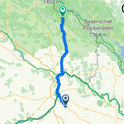
- Sankt Marienkirchen bei Schärding, Upper Austria, Austria
Rund um Sigharting
A cycling route starting in Sankt Marienkirchen bei Schärding, Upper Austria, Austria.
Overview
created this 7 years ago
Part of
15 stages
Route quality
Quiet road
31.9 km
(74 %)
Road
3.9 km
(9 %)
Paved
2.6 km
(6 %)
Unpaved
0.9 km
(2 %)
Paved (undefined)
1.3 km
(3 %)
Asphalt
1.3 km
(3 %)
Continue with Bikemap
You would like to ride Höhentour durchs Innviertel or customize it for your own trip? Here is what you can do with this Bikemap route:
Free trial for 3 days, or one-time payment. More about Bikemap Premium.
Discover more Premium features.
Get Bikemap PremiumFrom our community
Open it in the app