5ªR. Eta Priego de Cordoba , Ronda 180 km
- 180.4 km
- 1,352 m
- 1,229 m
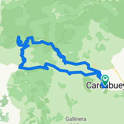
- Carcabuey, Andalusia, Spain
A cycling route starting in Carcabuey, Andalusia, Spain.
Overview
SECTION 1: From the path of Navazuelo to the Ctra de la Ermita de Cabra.
SECTION 2: From the Ctra de la Ermita de Cabra to the Ctra de la Cueva de los Murciélagos in Zuheros.
created this 7 years ago
Route quality
Track
13.8 km
57 %
Road
6.8 km
28 %
Path
3.6 km
15 %
Unpaved
14.3 km
(59 %)
Gravel
8.5 km
35 %
Ground
5.8 km
24 %
Undefined
9.9 km
41 %
Continue with Bikemap
You would like to ride CAMINO DEL NAVAZUELO, CAMINO DE LA NAVA HASTA CTRA CUEVA DE LOS MURCIÉLAGOS ZUHEROS or customize it for your own trip? Here is what you can do with this Bikemap route:
Free trial for 3 days, or one-time payment. More about Bikemap Premium.
Discover more Premium features.
Get Bikemap PremiumFrom our community
Open it in the app