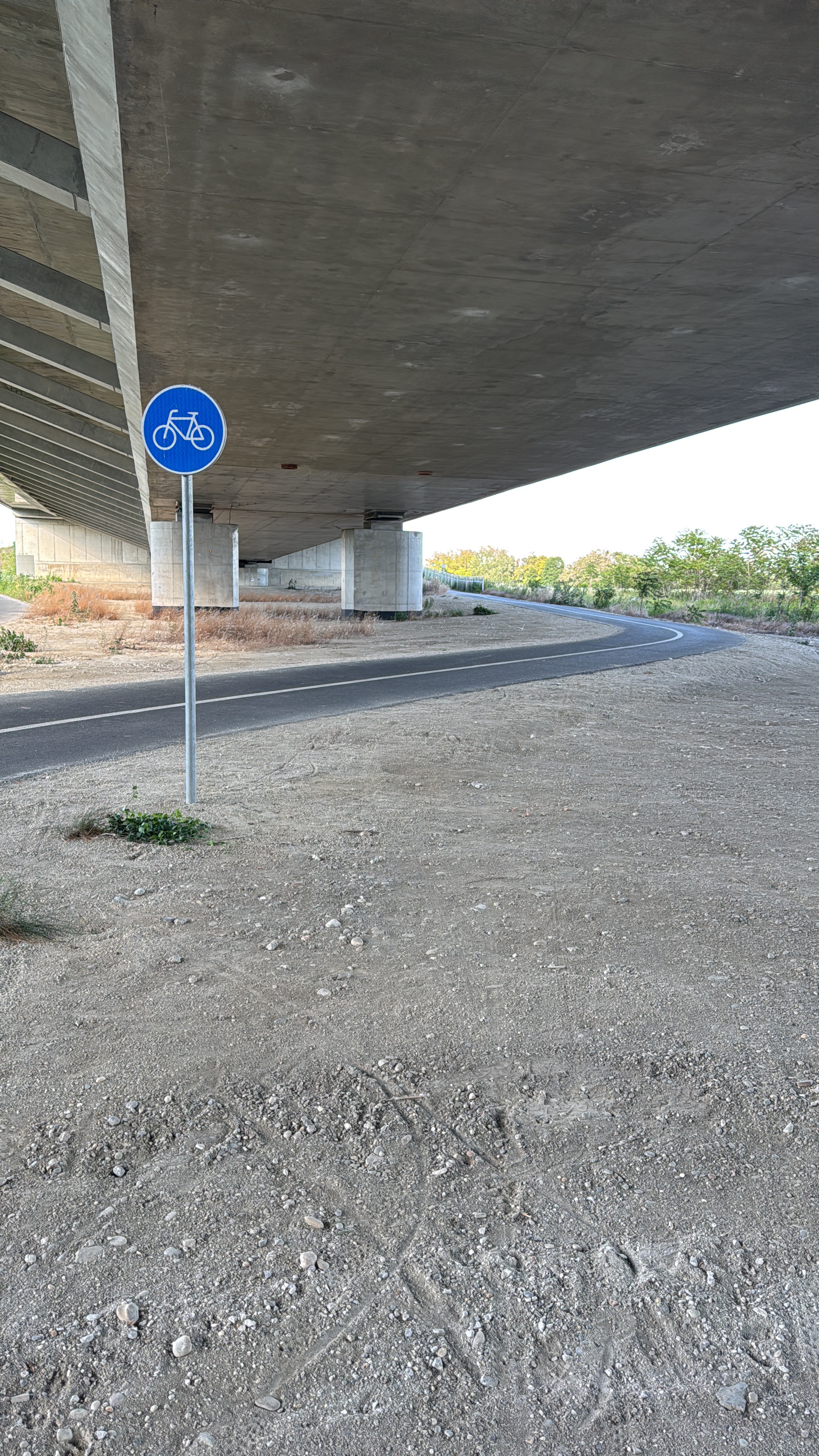
BikeBratislava - Bratislava Forest Park (Železná Studnička, Koliba, Kamzík)
A cycling route starting in Bratislava, Bratislavský kraj, Slovak Republic.
Overview
About this route
Bratislava Forest Park is the perfect nature route with many kilometers of paved roads but also forest tracks for the more aventurous ones. Be prepared for a more hilly terrain with beautiful views and great scenery. We highly recommend you to follow this track if you want to stay away from the city within the actual city. By the way, you can also use the ski lift to Kamzik hill in case you would like to sit for a while and enjoy the nature from the birds' perspective.
- -:--
- Duration
- 17.4 km
- Distance
- 364 m
- Ascent
- 361 m
- Descent
- ---
- Avg. speed
- ---
- Max. altitude
Route quality
Waytypes & surfaces along the route
Waytypes
Quiet road
10.3 km
(59 %)
Access road
2.4 km
(14 %)
Surfaces
Paved
13.7 km
(78 %)
Unpaved
1.5 km
(9 %)
Asphalt
12.6 km
(72 %)
Concrete
1.1 km
(6 %)
Continue with Bikemap
Use, edit, or download this cycling route
You would like to ride BikeBratislava - Bratislava Forest Park (Železná Studnička, Koliba, Kamzík) or customize it for your own trip? Here is what you can do with this Bikemap route:
Free features
- Save this route as favorite or in collections
- Copy & plan your own version of this route
- Sync your route with Garmin or Wahoo
Premium features
Free trial for 3 days, or one-time payment. More about Bikemap Premium.
- Navigate this route on iOS & Android
- Export a GPX / KML file of this route
- Create your custom printout (try it for free)
- Download this route for offline navigation
Discover more Premium features.
Get Bikemap PremiumFrom our community
Other popular routes starting in Bratislava
 na Veľký Javorník a späť
- Distance
- 39.4 km
- Ascent
- 550 m
- Descent
- 550 m
- Location
- Bratislava, Bratislavský kraj, Slovak Republic
 Milanova80tka
- Distance
- 74.9 km
- Ascent
- 48 m
- Descent
- 48 m
- Location
- Bratislava, Bratislavský kraj, Slovak Republic
 poobedňajšia 50ka BA-Bernolákovo a späť
- Distance
- 50.3 km
- Ascent
- 47 m
- Descent
- 47 m
- Location
- Bratislava, Bratislavský kraj, Slovak Republic
 Road: Kopce na železnej studničke
- Distance
- 87.4 km
- Ascent
- 1,887 m
- Descent
- 1,882 m
- Location
- Bratislava, Bratislavský kraj, Slovak Republic
 Okolo Hainburgských vŕškov
- Distance
- 41 km
- Ascent
- 177 m
- Descent
- 178 m
- Location
- Bratislava, Bratislavský kraj, Slovak Republic
 Bratislava - Vojka
- Distance
- 63.4 km
- Ascent
- 48 m
- Descent
- 50 m
- Location
- Bratislava, Bratislavský kraj, Slovak Republic
 Okolo Dunaja cez Vojku
- Distance
- 65.5 km
- Ascent
- 75 m
- Descent
- 75 m
- Location
- Bratislava, Bratislavský kraj, Slovak Republic
 Žltá, Bratislava V to Fialová, Bratislava V
- Distance
- 10.8 km
- Ascent
- 104 m
- Descent
- 96 m
- Location
- Bratislava, Bratislavský kraj, Slovak Republic
Open it in the app


