
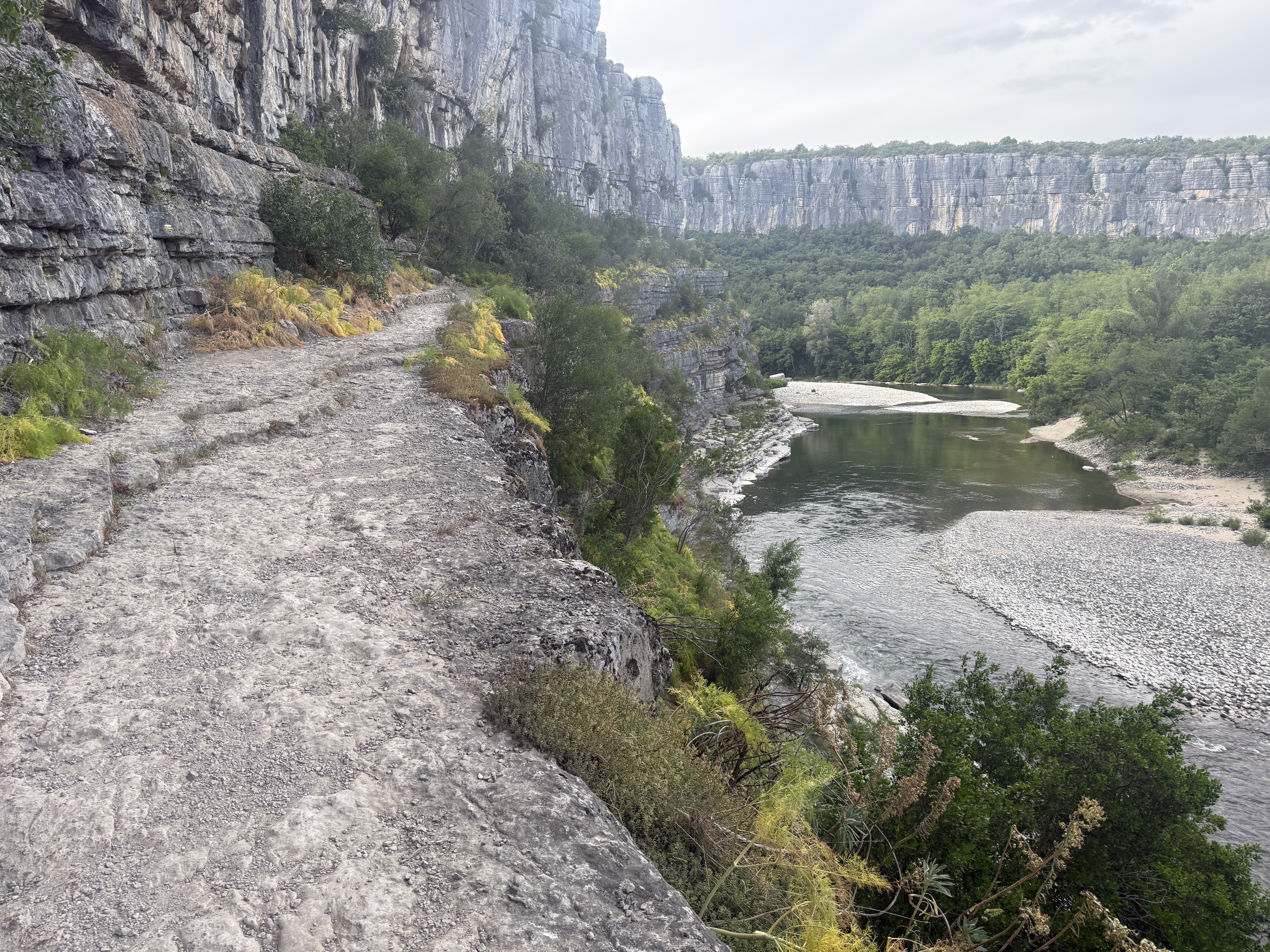
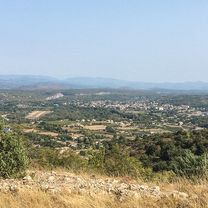
Stromer-rit? 70 km 1140hm,gorge de l'Ardeche!
A cycling route starting in Ruoms, Auvergne-Rhône-Alpes, France.
Overview
About this route
Als we eten (& de batterij opladen!) moet dit wel lukken denk ik!
- -:--
- Duration
- 68.8 km
- Distance
- 779 m
- Ascent
- 779 m
- Descent
- ---
- Avg. speed
- ---
- Max. altitude

Continue with Bikemap
Use, edit, or download this cycling route
You would like to ride Stromer-rit? 70 km 1140hm,gorge de l'Ardeche! or customize it for your own trip? Here is what you can do with this Bikemap route:
Free features
- Save this route as favorite or in collections
- Copy & plan your own version of this route
- Sync your route with Garmin or Wahoo
Premium features
Free trial for 3 days, or one-time payment. More about Bikemap Premium.
- Navigate this route on iOS & Android
- Export a GPX / KML file of this route
- Create your custom printout (try it for free)
- Download this route for offline navigation
Discover more Premium features.
Get Bikemap PremiumFrom our community
Other popular routes starting in Ruoms
 lagorce bouvier
- Distance
- 16.3 km
- Ascent
- 1,967 m
- Descent
- 1,977 m
- Location
- Ruoms, Auvergne-Rhône-Alpes, France
 De Les Blaches à Route de la Tour du Moulin
- Distance
- 13.2 km
- Ascent
- 226 m
- Descent
- 178 m
- Location
- Ruoms, Auvergne-Rhône-Alpes, France
 Ruoms 32 km
- Distance
- 32.1 km
- Ascent
- 412 m
- Descent
- 412 m
- Location
- Ruoms, Auvergne-Rhône-Alpes, France
 Biketour Lagorce-Ruoms-La Gare
- Distance
- 39.7 km
- Ascent
- 436 m
- Descent
- 434 m
- Location
- Ruoms, Auvergne-Rhône-Alpes, France
 Labeaume - Sablieres - Labeaume
- Distance
- 88.5 km
- Ascent
- 1,041 m
- Descent
- 1,041 m
- Location
- Ruoms, Auvergne-Rhône-Alpes, France
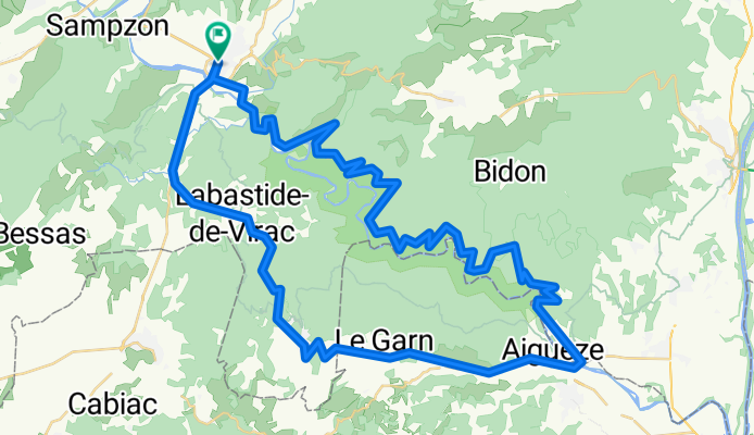
 Sampzon - Ardeche
- Distance
- 19 km
- Ascent
- 450 m
- Descent
- 450 m
- Location
- Ruoms, Auvergne-Rhône-Alpes, France
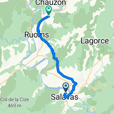
 Chemin de Faussimagne, Chauzon nach Chemin de Faussimagne, Chauzon
- Distance
- 29.1 km
- Ascent
- 269 m
- Descent
- 271 m
- Location
- Ruoms, Auvergne-Rhône-Alpes, France
 Sampzon-Bessas dh
- Distance
- 47.6 km
- Ascent
- 548 m
- Descent
- 550 m
- Location
- Ruoms, Auvergne-Rhône-Alpes, France
Open it in the app