


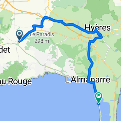
Route de la Moutonne, Carqueiranne to Route du Sel, Hyères
- 17 km
- 112 m
- 144 m
- Carqueiranne, Provence-Alpes-Côte d'Azur Region, France
A cycling route starting in Carqueiranne, Provence-Alpes-Côte d'Azur Region, France.
Overview
Training camp 2010: queen stage with four more or less intense 'mountains' on lonely roads.
created this 15 years ago
Route quality
Road
96.3 km
(64 %)
Cycleway
6 km
(4 %)
Paved
115.9 km
(77 %)
Asphalt
115.9 km
(77 %)
Undefined
34.6 km
(23 %)
Continue with Bikemap
You would like to ride TL 2010: Königsetappe or customize it for your own trip? Here is what you can do with this Bikemap route:
Free trial for 3 days, or one-time payment. More about Bikemap Premium.
Discover more Premium features.
Get Bikemap PremiumFrom our community
Open it in the app


