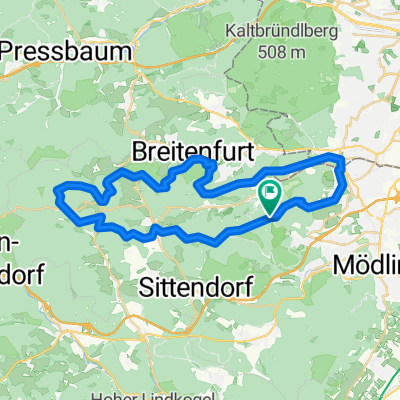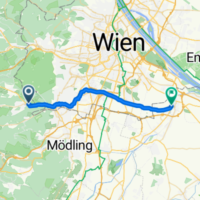
elg:// Liesingbachradweg (Breitenfurt-Schwechat)
- 23.2 km
- 32 m
- 143 m
- Kaltenleutgeben, Lower Austria, Austria
A cycling route starting in Kaltenleutgeben, Lower Austria, Austria.
Overview
Very easy, family-friendly route
Breitenfurt - Kalksburg - Rodaun - Liesing - Alterlaa - Rothneusiedl - Kledering - Schwechat.
The path follows the Liesing creek all the way to Schwechat. Another possible starting point is the Liesing train station. This is a particularly child-friendly route. Along the way, the little ones will enjoy not only the numerous playgrounds and sports fields as well as a BMX track, but also the generous children's schnitzel portions at Brückenwirt (Unterlaaerstraße 27).
created this 7 years ago
Route quality
Cycleway
8.4 km
(36 %)
Quiet road
6.5 km
(28 %)
Paved
13.7 km
(59 %)
Unpaved
9.1 km
(39 %)
Asphalt
12.8 km
(55 %)
Gravel
5.6 km
(24 %)
Continue with Bikemap
You would like to ride elg:// Liesingbachradweg (Breitenfurt-Schwechat) or customize it for your own trip? Here is what you can do with this Bikemap route:
Free trial for 3 days, or one-time payment. More about Bikemap Premium.
Discover more Premium features.
Get Bikemap PremiumFrom our community
Open it in the app