Pirc 101
- 31.4 km
- 300 m
- 300 m
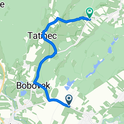
- Kokrica, Kranj, Slovenia
A cycling route starting in Kokrica, Kranj, Slovenia.
Overview
Kranj - Smlednik - Tacen - Savlje - Ježica - Bežigrad - Štepanjsko naselje - Fužine - Zadvor - Besnica - Veliko Trebeljevo - Leskovec - Vrh pri Višnji gori - Višnja gora - Ivančna gorica - Šentvid pri Stični - Radohova vas - Šentlovrenc - Velika loka - Štefan pri Trebnejm - Trebnje
created this 7 years ago
Route quality
Road
31.1 km
(34 %)
Quiet road
23.8 km
(26 %)
Paved
65.8 km
(72 %)
Unpaved
2.7 km
(3 %)
Asphalt
65.8 km
(72 %)
Gravel
2.7 km
(3 %)
Undefined
22.9 km
(25 %)
Continue with Bikemap
You would like to ride Trebnje 2017 or customize it for your own trip? Here is what you can do with this Bikemap route:
Free trial for 3 days, or one-time payment. More about Bikemap Premium.
Discover more Premium features.
Get Bikemap PremiumFrom our community
Open it in the app