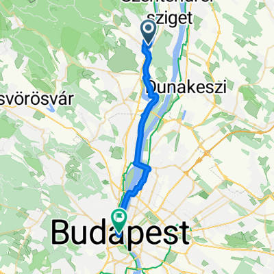
D15 Szentendre - Budapest
- 26.7 km
- 124 m
- 109 m
- Szentendre, Pest County, Hungary
A cycling route starting in Szentendre, Pest County, Hungary.
Overview
created this 7 years ago
Route quality
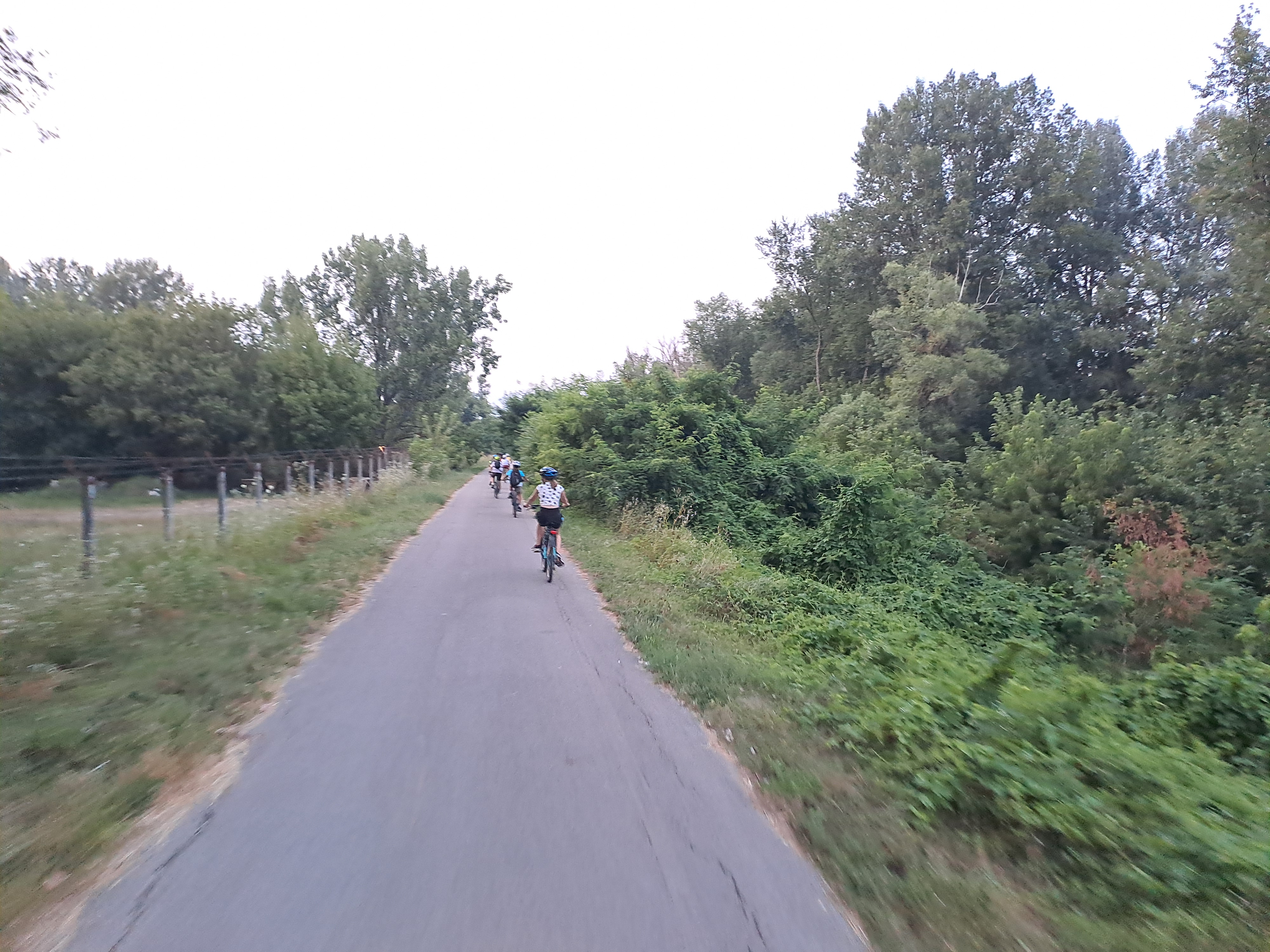
Quiet road
23.5 km
(43 %)
Track
14.7 km
(27 %)
Paved
34.4 km
(63 %)
Unpaved
12 km
(22 %)
Asphalt
34.4 km
(63 %)
Ground
8.7 km
(16 %)
Continue with Bikemap
You would like to ride Dobogókő-Rám-hegy-Visegrád-Leányfalu or customize it for your own trip? Here is what you can do with this Bikemap route:
Free trial for 3 days, or one-time payment. More about Bikemap Premium.
Discover more Premium features.
Get Bikemap PremiumFrom our community
Open it in the app