
DE-AT Test Route
- 783.1 km
- 1,484 m
- 1,392 m
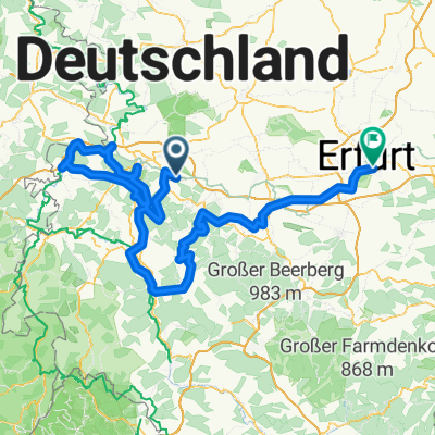
- Seebach, Thuringia, Germany
A cycling route starting in Seebach, Thuringia, Germany.
Overview
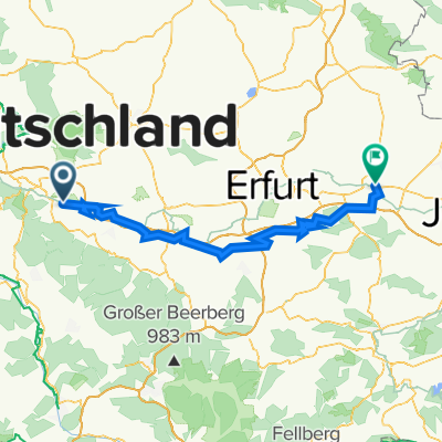
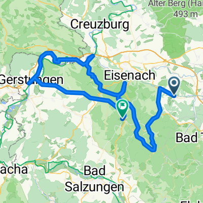
Schönau (Hörsel)
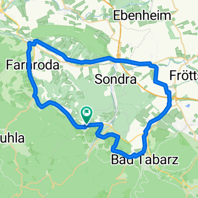
Hörsel Cycle Route to Wutha-Farnroda
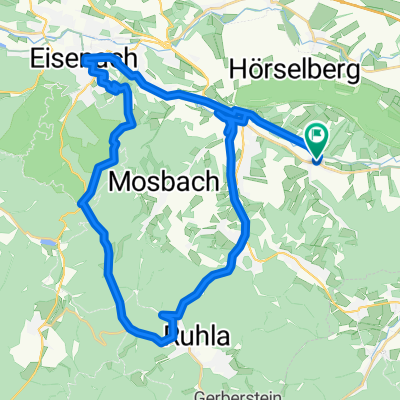
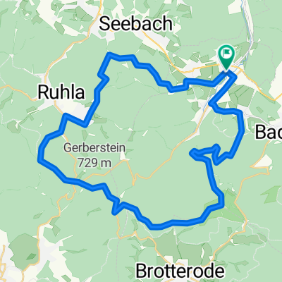
Tannhäuser Cycle Route to Ruhla
Rennsteig Cycle Route to 'Hohe Sonne'
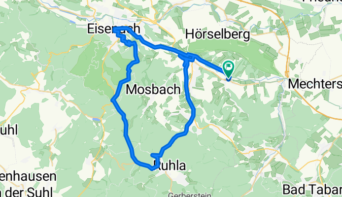
Wine Route to the Burschenschaftsdenkmal monument
Eisenach Hörsel Cycle Route to Schönau
created this 7 years ago
Route quality
Quiet road
13.4 km
34 %
Track
13.4 km
34 %
Paved
15.7 km
(40 %)
Unpaved
12.2 km
(31 %)
Asphalt
13.8 km
35 %
Gravel
7.9 km
20 %
Continue with Bikemap
You would like to ride Erkundung - Cappuccino 2018 or customize it for your own trip? Here is what you can do with this Bikemap route:
Free trial for 3 days, or one-time payment. More about Bikemap Premium.
Discover more Premium features.
Get Bikemap PremiumFrom our community
Open it in the app