La Palma - Etapa 2 B
A cycling route starting in Garachiko, Canary Islands, Spain.
Overview
About this route
- -:--
- Duration
- 26.1 km
- Distance
- 1,977 m
- Ascent
- 1,939 m
- Descent
- ---
- Avg. speed
- ---
- Avg. speed
Continue with Bikemap
Use, edit, or download this cycling route
You would like to ride La Palma - Etapa 2 B or customize it for your own trip? Here is what you can do with this Bikemap route:
Free features
- Save this route as favorite or in collections
- Copy & plan your own version of this route
- Sync your route with Garmin or Wahoo
Premium features
Free trial for 3 days, or one-time payment. More about Bikemap Premium.
- Navigate this route on iOS & Android
- Export a GPX / KML file of this route
- Create your custom printout (try it for free)
- Download this route for offline navigation
Discover more Premium features.
Get Bikemap PremiumFrom our community
Other popular routes starting in Garachiko
- Los Tijos, Roques de los Muchachos (2,3,4)
- Distance
- 43.3 km
- Ascent
- 2,096 m
- Descent
- 2,505 m
- Location
- Garachiko, Canary Islands, Spain
- Calle Fuente Pino 4, Puntallana nach Calle Los Tilos 2
- Distance
- 10.4 km
- Ascent
- 831 m
- Descent
- 744 m
- Location
- Garachiko, Canary Islands, Spain
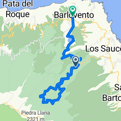
- 2SanAndres-PtoTazacorte
- Distance
- 76.4 km
- Ascent
- 1,509 m
- Descent
- 1,765 m
- Location
- Garachiko, Canary Islands, Spain
- Single 04 Fuencaliente
- Distance
- 11.9 km
- Ascent
- 16 m
- Descent
- 1,491 m
- Location
- Garachiko, Canary Islands, Spain
- Playa de Nogales
- Distance
- 14.9 km
- Ascent
- 994 m
- Descent
- 946 m
- Location
- Garachiko, Canary Islands, Spain
- 13_13Tunnel
- Distance
- 11.2 km
- Ascent
- 853 m
- Descent
- 1,675 m
- Location
- Garachiko, Canary Islands, Spain
- 20_RandCaldera
- Distance
- 5.7 km
- Ascent
- 549 m
- Descent
- 549 m
- Location
- Garachiko, Canary Islands, Spain
- Playa de Nogales 11
- Distance
- 5.9 km
- Ascent
- 485 m
- Descent
- 468 m
- Location
- Garachiko, Canary Islands, Spain
Open it in the app