Von Merkengersch bis Slavonice
- 17.7 km
- 172 m
- 127 m
- Dobersberg, Lower Austria, Austria
A cycling route starting in Dobersberg, Lower Austria, Austria.
Overview
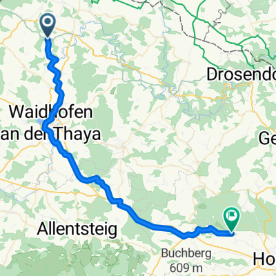
Dobersberg - Retz along the Thayatal cycle path
created this 7 years ago
Route quality
Road
22.8 km
(28 %)
Quiet road
17.1 km
(21 %)
Paved
31 km
(38 %)
Unpaved
4.1 km
(5 %)
Asphalt
26.1 km
(32 %)
Paved (undefined)
4.9 km
(6 %)
Continue with Bikemap
You would like to ride Dobersberg - Retz or customize it for your own trip? Here is what you can do with this Bikemap route:
Free trial for 3 days, or one-time payment. More about Bikemap Premium.
Discover more Premium features.
Get Bikemap PremiumFrom our community
Open it in the app