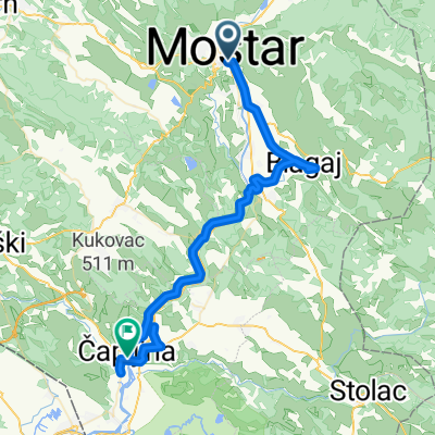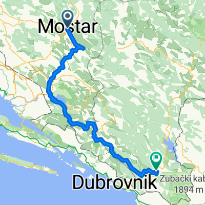
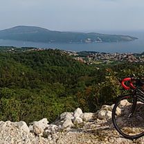
Ciro Trail: Mostar - Trebinje
- 149.4 km
- 940 m
- 1,005 m
- Mostar, Federation of Bosnia and Herzegovina, Bosnia and Herzegovina
Balkans - Split to Kotor
A cycling route starting in Mostar, Federation of Bosnia and Herzegovina, Bosnia and Herzegovina.
Overview
created this 7 years ago
Part of
5 stages
Route quality
Quiet road
27.2 km
(41 %)
Road
10.6 km
(16 %)
Paved
56.3 km
(85 %)
Asphalt
56.3 km
(85 %)
Undefined
9.9 km
(15 %)
Route highlights
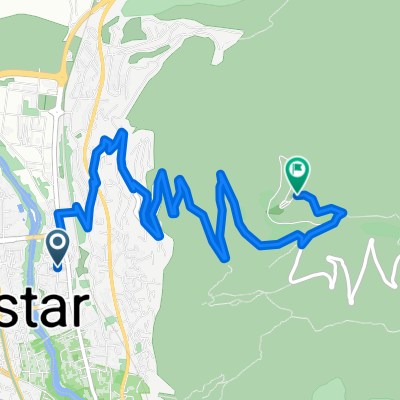
Diversion onto gravel track for 2 hours :-O
Continue with Bikemap
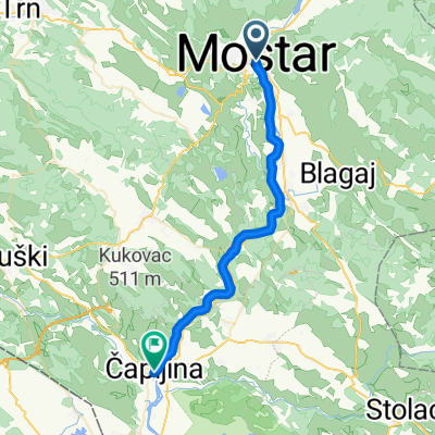
You would like to ride Day 3 - Mostar to Hutovo or customize it for your own trip? Here is what you can do with this Bikemap route:
Free trial for 3 days, or one-time payment. More about Bikemap Premium.
Discover more Premium features.
Get Bikemap PremiumFrom our community
Open it in the app