

Canal du Midi 2
A cycling route starting in Olonzac, Occitanie, France.
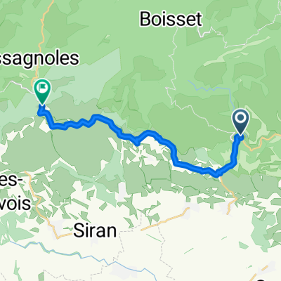
Overview
About this route
- -:--
- Duration
- 39.7 km
- Distance
- 133 m
- Ascent
- 72 m
- Descent
- ---
- Avg. speed
- ---
- Max. altitude

Route quality
Waytypes & surfaces along the route
Waytypes
Track
17.9 km
(45 %)
Quiet road
4 km
(10 %)
Surfaces
Paved
5.6 km
(14 %)
Unpaved
25.4 km
(64 %)
Gravel
13.9 km
(35 %)
Ground
9.5 km
(24 %)
Route highlights
Points of interest along the route
Point of interest after 16.9 km
Wine
Point of interest after 20 km
wine
Continue with Bikemap
Use, edit, or download this cycling route
You would like to ride Canal du Midi 2 or customize it for your own trip? Here is what you can do with this Bikemap route:
Free features
- Save this route as favorite or in collections
- Copy & plan your own version of this route
- Sync your route with Garmin or Wahoo
Premium features
Free trial for 3 days, or one-time payment. More about Bikemap Premium.
- Navigate this route on iOS & Android
- Export a GPX / KML file of this route
- Create your custom printout (try it for free)
- Download this route for offline navigation
Discover more Premium features.
Get Bikemap PremiumFrom our community
Other popular routes starting in Olonzac
 Canal du Midi: Tourouzelle - Beziers
- Distance
- 61.5 km
- Ascent
- 880 m
- Descent
- 898 m
- Location
- Olonzac, Occitanie, France
 Homps 2b variant
- Distance
- 54.1 km
- Ascent
- 394 m
- Descent
- 393 m
- Location
- Olonzac, Occitanie, France
 France minerve to rieux-minervois
- Distance
- 37.9 km
- Ascent
- 340 m
- Descent
- 450 m
- Location
- Olonzac, Occitanie, France
 Etape 17– De Minerve à Saint-Julien-des-Meulières - Itinéraire Sud
- Distance
- 14.2 km
- Ascent
- 440 m
- Descent
- 186 m
- Location
- Olonzac, Occitanie, France
 variante-entre-homps-et-le-somail-via-minerve
- Distance
- 38.8 km
- Ascent
- 332 m
- Descent
- 349 m
- Location
- Olonzac, Occitanie, France
 Homps-Lagrasse
- Distance
- 111.8 km
- Ascent
- 936 m
- Descent
- 865 m
- Location
- Olonzac, Occitanie, France
 Homps to Béziers
- Distance
- 64 km
- Ascent
- 269 m
- Descent
- 274 m
- Location
- Olonzac, Occitanie, France
 Etape 17 – De Minerve à Saint-Julien-des-Meulières - Itinéraire Sud
- Distance
- 14.1 km
- Ascent
- 410 m
- Descent
- 159 m
- Location
- Olonzac, Occitanie, France
Open it in the app