József Attila utca - Arany János utca
- 9.3 km
- 69 m
- 125 m
- Szárliget, Fejér, Hungary
A cycling route starting in Szárliget, Fejér, Hungary.
Overview
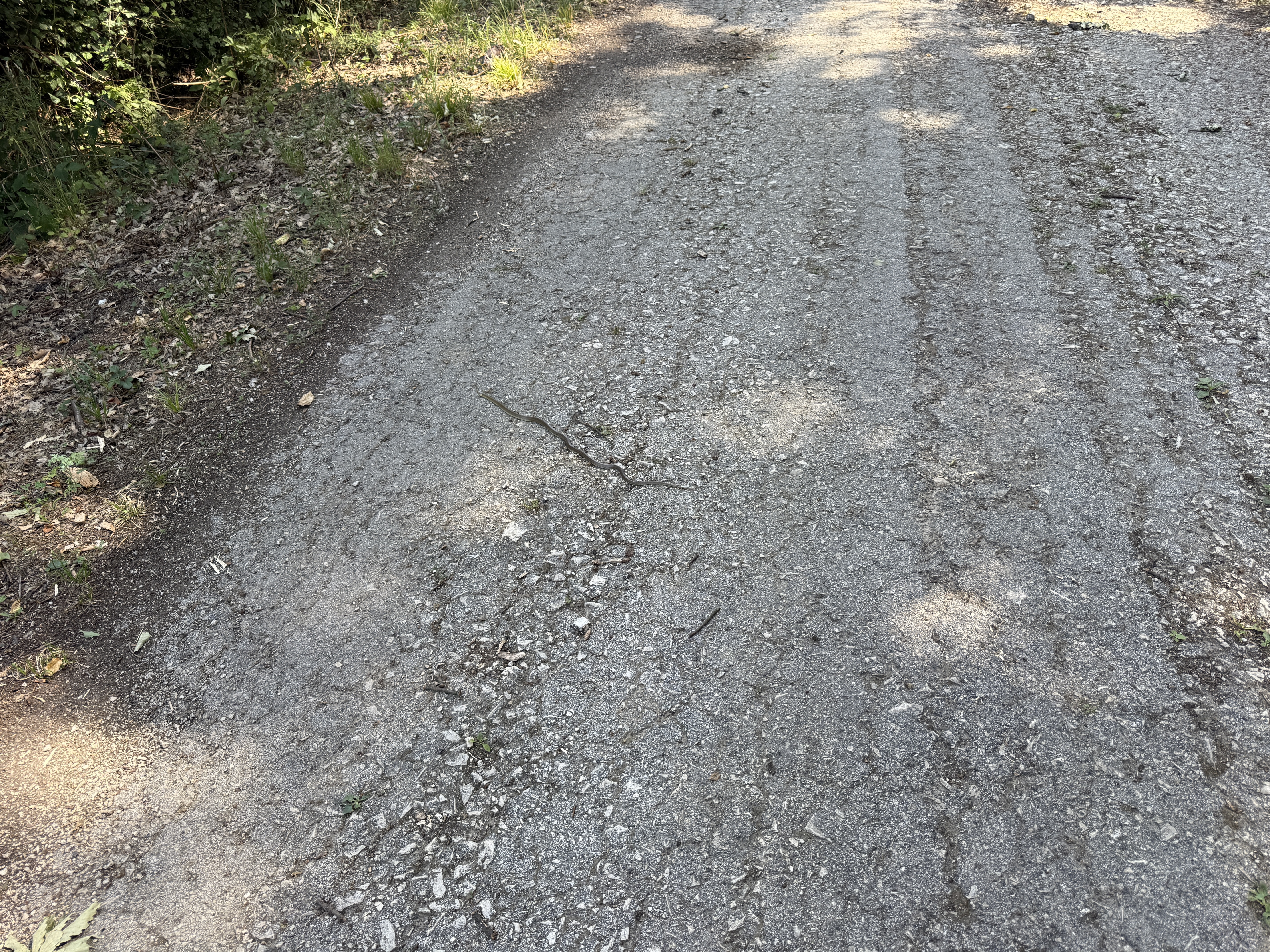
The entire route is an asphalt road.
created this 7 years ago
Route quality
Quiet road
29.8 km
42 %
Cycleway
20.5 km
29 %
Paved
56 km
(79 %)
Unpaved
3.5 km
(5 %)
Asphalt
56 km
79 %
Gravel
3.5 km
5 %
Undefined
11.3 km
16 %
Continue with Bikemap
You would like to ride Szárliget-Dunaalmás-Szarliget or customize it for your own trip? Here is what you can do with this Bikemap route:
Free trial for 3 days, or one-time payment. More about Bikemap Premium.
Discover more Premium features.
Get Bikemap PremiumFrom our community
Open it in the app