Chitry-Bazoches-Vezelay-Clamecy-Canal Nivernays-Chitry
- 90.2 km
- 554 m
- 555 m
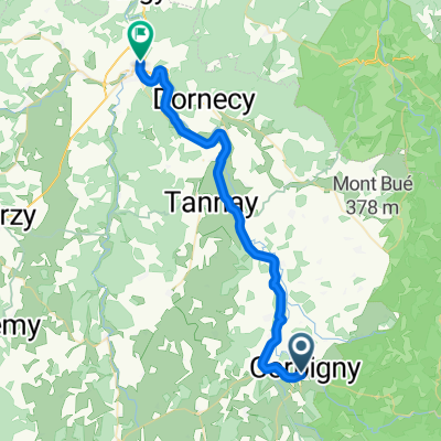
- Corbigny, Bourgogne-Franche-Comté, France
A cycling route starting in Corbigny, Bourgogne-Franche-Comté, France.
Overview
Chitry-Saint Révérien-Prémery-Bona-Saint Saulge-Étang de Baye-Chitry
created this 7 years ago
Route quality
Road
15.5 km
(17 %)
Quiet road
9.1 km
(10 %)
Paved
35.5 km
(39 %)
Unpaved
0.9 km
(1 %)
Asphalt
34.5 km
(38 %)
Paved (undefined)
0.9 km
(1 %)
Continue with Bikemap
You would like to ride Chitry-Saint Révérien-Prémery-Bona-Saint Saulge-Étang de Baye-Chitry or customize it for your own trip? Here is what you can do with this Bikemap route:
Free trial for 3 days, or one-time payment. More about Bikemap Premium.
Discover more Premium features.
Get Bikemap PremiumFrom our community
Open it in the app