
Lacul Vulturilor via Tabla Butii
A cycling route starting in Drajna de Sus, Prahova, Romania.
Overview
About this route
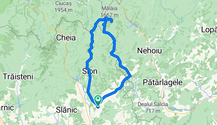
Very nice mtb trip in Siriu and Tataru mountains, all the way up to Eagle's Lake. The route is mainly on forest roads. Starting with km 39 you will have 1,4 km / 42 min of push/hike-a-bike. There are touristic markings on trees (red vertical line between two white lines) but the trail is old and full of twigs, branches and dead leafs. You can follow the trail/gps track only on daytime, otherwise you will get lost.
- -:--
- Duration
- 91 km
- Distance
- 1,583 m
- Ascent
- 1,583 m
- Descent
- ---
- Avg. speed
- ---
- Avg. speed

Route photos


Route quality
Waytypes & surfaces along the route
Waytypes
Busy road
33 km
(36 %)
Track
28.6 km
(31 %)
Surfaces
Paved
39.5 km
(43 %)
Unpaved
26 km
(29 %)
Asphalt
39.2 km
(43 %)
Ground
16.6 km
(18 %)
Continue with Bikemap
Use, edit, or download this cycling route
You would like to ride Lacul Vulturilor via Tabla Butii or customize it for your own trip? Here is what you can do with this Bikemap route:
Free features
- Save this route as favorite or in collections
- Copy & plan your own version of this route
- Sync your route with Garmin or Wahoo
Premium features
Free trial for 3 days, or one-time payment. More about Bikemap Premium.
- Navigate this route on iOS & Android
- Export a GPX / KML file of this route
- Create your custom printout (try it for free)
- Download this route for offline navigation
Discover more Premium features.
Get Bikemap PremiumFrom our community
Other popular routes starting in Drajna de Sus
 Drajna-Cerasu-Slon-Maneciu-Drajna
- Distance
- 38.2 km
- Ascent
- 790 m
- Descent
- 831 m
- Location
- Drajna de Sus, Prahova, Romania
 test Aricestii Zeletin
- Distance
- 14.1 km
- Ascent
- 621 m
- Descent
- 369 m
- Location
- Drajna de Sus, Prahova, Romania
 Lacul Vulturilor via Tabla Butii
- Distance
- 91 km
- Ascent
- 1,583 m
- Descent
- 1,583 m
- Location
- Drajna de Sus, Prahova, Romania
 Posesti - Valea Anei
- Distance
- 32.1 km
- Ascent
- 759 m
- Descent
- 740 m
- Location
- Drajna de Sus, Prahova, Romania
 Drajna-Catun-Bodesti-Retur
- Distance
- 19 km
- Ascent
- 398 m
- Descent
- 399 m
- Location
- Drajna de Sus, Prahova, Romania
 Drajna-Baraj Siriu
- Distance
- 51.2 km
- Ascent
- 786 m
- Descent
- 627 m
- Location
- Drajna de Sus, Prahova, Romania
 Roads
Roads- Distance
- 87.8 km
- Ascent
- 1,469 m
- Descent
- 870 m
- Location
- Drajna de Sus, Prahova, Romania
 Drajna - Slon - Tabla Butii
- Distance
- 29.7 km
- Ascent
- 1,515 m
- Descent
- 642 m
- Location
- Drajna de Sus, Prahova, Romania
Open it in the app