
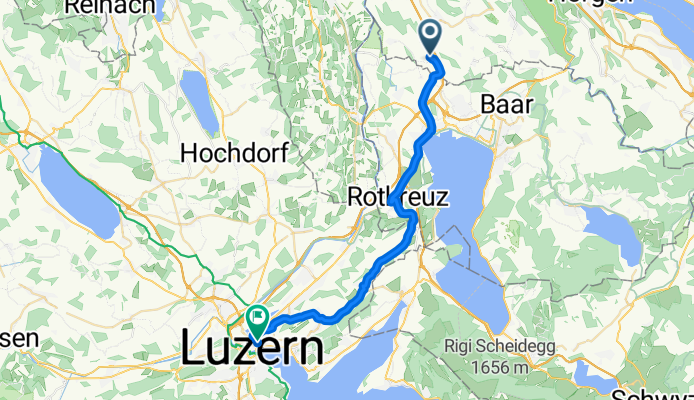
Bike to work
A cycling route starting in Knonau, Canton of Zurich, Switzerland.
Overview
About this route
- -:--
- Duration
- 29.9 km
- Distance
- 364 m
- Ascent
- 361 m
- Descent
- ---
- Avg. speed
- ---
- Max. altitude

Route quality
Waytypes & surfaces along the route
Waytypes
Road
1.8 km
(6 %)
Quiet road
1.5 km
(5 %)
Surfaces
Paved
15 km
(50 %)
Asphalt
14.4 km
(48 %)
Paved (undefined)
0.3 km
(1 %)
Continue with Bikemap
Use, edit, or download this cycling route
You would like to ride Bike to work or customize it for your own trip? Here is what you can do with this Bikemap route:
Free features
- Save this route as favorite or in collections
- Copy & plan your own version of this route
- Sync your route with Garmin or Wahoo
Premium features
Free trial for 3 days, or one-time payment. More about Bikemap Premium.
- Navigate this route on iOS & Android
- Export a GPX / KML file of this route
- Create your custom printout (try it for free)
- Download this route for offline navigation
Discover more Premium features.
Get Bikemap PremiumFrom our community
Other popular routes starting in Knonau
 Bike to work
- Distance
- 29.9 km
- Ascent
- 364 m
- Descent
- 361 m
- Location
- Knonau, Canton of Zurich, Switzerland
 Reusstal Knonau
- Distance
- 33.3 km
- Ascent
- 192 m
- Descent
- 192 m
- Location
- Knonau, Canton of Zurich, Switzerland
 ibergeregg_Gottschalker
- Distance
- 102.5 km
- Ascent
- 1,363 m
- Descent
- 1,357 m
- Location
- Knonau, Canton of Zurich, Switzerland
 Hallwilersee: Cham - Meisterschwanden - Beinwil am See - Hitzkirch - Hohenrain - Sins - Cham (67.2Km, 860hm)
- Distance
- 67.2 km
- Ascent
- 802 m
- Descent
- 801 m
- Location
- Knonau, Canton of Zurich, Switzerland
 Hagendorn-Glarus-Pragelpass-Hagendorn
- Distance
- 148.7 km
- Ascent
- 1,728 m
- Descent
- 1,727 m
- Location
- Knonau, Canton of Zurich, Switzerland
 Uttenberg - ETH Hönggerberg Rennvelo
- Distance
- 25.1 km
- Ascent
- 350 m
- Descent
- 337 m
- Location
- Knonau, Canton of Zurich, Switzerland
 Hagendorn-Klausenpass-Pfäfikon-Hagendorn
- Distance
- 185.5 km
- Ascent
- 2,198 m
- Descent
- 2,195 m
- Location
- Knonau, Canton of Zurich, Switzerland
 Albisketten Trails
- Distance
- 69.4 km
- Ascent
- 1,650 m
- Descent
- 1,650 m
- Location
- Knonau, Canton of Zurich, Switzerland
Open it in the app