Jura dzień drugi
- 106.9 km
- 990 m
- 991 m
- Skała, Lesser Poland Voivodeship, Poland
A cycling route starting in Skała, Lesser Poland Voivodeship, Poland.
Overview
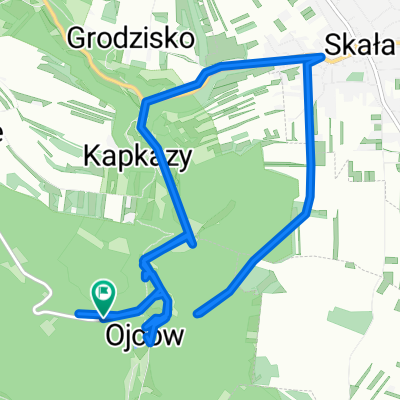
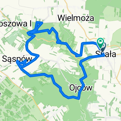
Ojców valley. Delight and Sąspowska
created this 7 years ago
Route highlights
Pstrąg Ojcowski
Continue with Bikemap
You would like to ride Ojców dol. Zachwytu i Sąspowska or customize it for your own trip? Here is what you can do with this Bikemap route:
Free trial for 3 days, or one-time payment. More about Bikemap Premium.
Discover more Premium features.
Get Bikemap PremiumFrom our community
Open it in the app