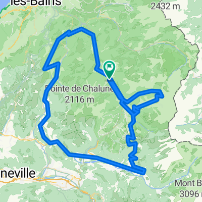
Francoske Alpe 2010

A cycling route starting in Morzine, Auvergne-Rh么ne-Alpes, France.
OverviewAbout this route

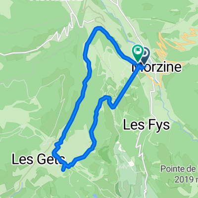
Morzine - Taninges - Samoens - Col de Joux Plane - Morzine - Avoriaz - Morzine

Translated, show original (French)
-:--
Duration
75.5 km
Distance
2,079 m
Ascent
1,623 m
Descent
---
Avg. speed
1,688 m
Max. altitude
borsnakcreated this 16 years ago
Route qualityWaytypes & surfaces along the route
Waytypes
  • Road

    17.4 km23 %
  • Quiet road

    5.3 km7 %
  • Access road

    3.8 km5 %
Surfaces

Paved

59.7 km(79 %)

Unpaved

2.3 km(3 %)
  • Asphalt

    59.7 km79 %
  • Unpaved (undefined)

    1.5 km2 %
  • Gravel

    0.8 km1 %
Continue with BikemapUse, edit, or download this cycling route
You would like to ride Francoske Alpe 2010 or customize it for your own trip? Here is what you can do with this Bikemap route:
Free features
Premium features

Free trial for 3 days, or one-time payment. More about Bikemap Premium.

  • Navigate this route on iOS & Android
  • Export a GPX / KML file of this route
  • Create your custom printout (try it for free)
  • Download this route for offline navigation

Discover more Premium features.

Get Bikemap Premium
From our communityOther popular routes starting in Morzine

Open it in the app