

2018/13 Żar do Porąbki
A cycling route starting in Kęty, Lesser Poland Voivodeship, Poland.
Overview
About this route
Ascent to Żar on asphalt, climb to Kiczera [I couldn't manage to ride up] and return via the yellow trail to Porąbka - Kozubnik.
The ascent is very okay, easier than it looks.
But the descent from Kiczera on the yellow trail for an amateur on a hardtail with V-brakes is simply a mistake.
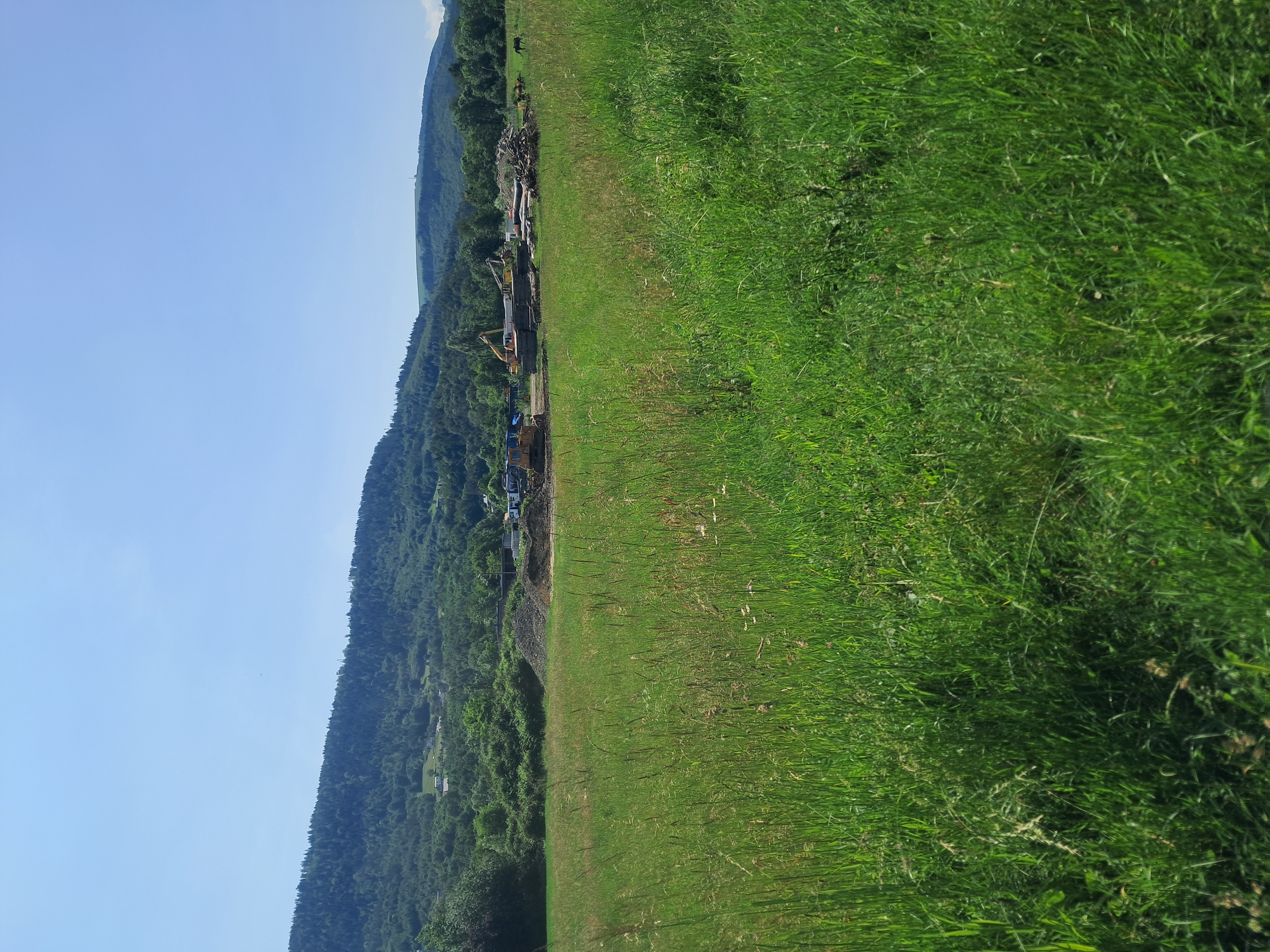
Very steep terrain – look at the photo on Żar from the feet of Micherdówka: such a short section but the summit remains high. It is also clearly visible on the terrain contour lines.
Loose stones, large, they yank the handlebars out of your hands. If you overdo the braking, you'll fly onto those stones, and the bike might hit you on the head.
I walked the bike down all the way to the place at the feet of Micherdówka.
Further the test was "normal", but the road is cut by rainwater and full of loose material.
Three stars because:
-
I don't recommend this descent
-
car traffic on road 948
Generally, I recommend being under Żar around 9:00 before the idiots are still asleep, afterwards it's crowded and stressful.
- -:--
- Duration
- 49.7 km
- Distance
- 861 m
- Ascent
- 862 m
- Descent
- ---
- Avg. speed
- ---
- Max. altitude

Route photos


Route highlights
Points of interest along the route

Photo after 5.8 km

Photo after 11.4 km
and now for a taste of things to come

Photo after 14.9 km

Photo after 24.3 km
Mortal Kombat !

Photo after 29.2 km
Point of interest after 31.6 km
Bardzo strome podejście

Photo after 31.7 km
Point of interest after 32 km
Bardzo strome podejście.

Photo after 32.3 km
Point of interest after 32.5 km
Bardzo strome, kamieniste zejście. Żółty szlak.

Photo after 32.6 km
Point of interest after 32.8 km
Kamienie, pełno luźnych kamoli. I korzenie.
Point of interest after 33.8 km
Dopiero od tego miejsca amator, turysta rowerowy może normalnie jechać.

Photo after 34.9 km

Photo after 35.9 km

Photo after 37.8 km
Continue with Bikemap
Use, edit, or download this cycling route
You would like to ride 2018/13 Żar do Porąbki or customize it for your own trip? Here is what you can do with this Bikemap route:
Free features
- Save this route as favorite or in collections
- Copy & plan your own version of this route
- Sync your route with Garmin or Wahoo
Premium features
Free trial for 3 days, or one-time payment. More about Bikemap Premium.
- Navigate this route on iOS & Android
- Export a GPX / KML file of this route
- Create your custom printout (try it for free)
- Download this route for offline navigation
Discover more Premium features.
Get Bikemap PremiumFrom our community
Other popular routes starting in Kęty
 Przegibek, Tresna, Porąbka
- Distance
- 50.1 km
- Ascent
- 654 m
- Descent
- 665 m
- Location
- Kęty, Lesser Poland Voivodeship, Poland
 De Jana III Sobieskiego a Jana III Sobieskiego
- Distance
- 68.4 km
- Ascent
- 527 m
- Descent
- 571 m
- Location
- Kęty, Lesser Poland Voivodeship, Poland
 Starą Drogą do Czańca
- Distance
- 24.8 km
- Ascent
- 145 m
- Descent
- 145 m
- Location
- Kęty, Lesser Poland Voivodeship, Poland
 Zabrzeg, Jezioro Goczałkowickie, Czechowice-Dziedzice
- Distance
- 65.3 km
- Ascent
- 233 m
- Descent
- 235 m
- Location
- Kęty, Lesser Poland Voivodeship, Poland
 Osiedle 700-lecia 15C, Kęty do Osiedle 700-lecia 15C, Kęty
- Distance
- 12.7 km
- Ascent
- 53 m
- Descent
- 53 m
- Location
- Kęty, Lesser Poland Voivodeship, Poland
 Kęty-Kozy-Przegibek-
- Distance
- 89.3 km
- Ascent
- 967 m
- Descent
- 960 m
- Location
- Kęty, Lesser Poland Voivodeship, Poland
 Tadeusza Kościuszki 53A, Kęty do Henryka Sienkiewicza 4, Kęty
- Distance
- 8.3 km
- Ascent
- 44 m
- Descent
- 48 m
- Location
- Kęty, Lesser Poland Voivodeship, Poland
 Do zapory
- Distance
- 23.2 km
- Ascent
- 102 m
- Descent
- 103 m
- Location
- Kęty, Lesser Poland Voivodeship, Poland
Open it in the app