BA6 - Lauterbach am Geslau - Weikersheim
- 82.7 km
- 767 m
- 1,001 m
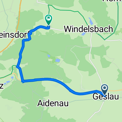
- Geslau, Bavaria, Germany
Overview
created this 7 years ago
Part of
16 stages
Route quality
Track
38.2 km
(33 %)
Quiet road
32.4 km
(28 %)
Paved
64.9 km
(56 %)
Unpaved
16.2 km
(14 %)
Asphalt
55.6 km
(48 %)
Gravel
15.1 km
(13 %)
Route highlights
Supermarket
Continue with Bikemap
You would like to ride EU day 8 or customize it for your own trip? Here is what you can do with this Bikemap route:
Free trial for 3 days, or one-time payment. More about Bikemap Premium.
Discover more Premium features.
Get Bikemap PremiumFrom our community
Open it in the app