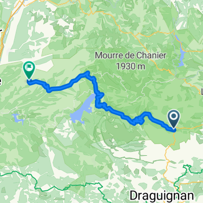
Verdon Schlucht
A cycling route starting in Bargemon, Provence-Alpes-C么te d'Azur Region, France.
Overview
About this route
Although somewhat strenuous (up to Aigunes) - but beautiful: impressive landscapes, great descents, but also climbs!
- -:--
- Duration
- 54 km
- Distance
- 870 m
- Ascent
- 1,268 m
- Descent
- ---
- Avg. speed
- ---
- Max. altitude
Continue with Bikemap
Use, edit, or download this cycling route
You would like to ride Verdon Schlucht or customize it for your own trip? Here is what you can do with this Bikemap route:
Free features
- Save this route as favorite or in collections
- Copy & plan your own version of this route
- Sync your route with Garmin or Wahoo
Premium features
Free trial for 3 days, or one-time payment. More about Bikemap Premium.
- Navigate this route on iOS & Android
- Export a GPX / KML file of this route
- Create your custom printout (try it for free)
- Download this route for offline navigation
Discover more Premium features.
Get Bikemap PremiumFrom our community
Other popular routes starting in Bargemon
- Bargemon - Bagnols-en-For锚t
- Distance
- 23.9 km
- Ascent
- 275 m
- Descent
- 492 m
- Location
- Bargemon, Provence-Alpes-C么te d'Azur Region, France
- Francie2013-3
- Distance
- 65.1 km
- Ascent
- 1,392 m
- Descent
- 1,392 m
- Location
- Bargemon, Provence-Alpes-C么te d'Azur Region, France
- Strecke B: Comps sur Artuby-Valensole
- Distance
- 80.7 km
- Ascent
- 1,119 m
- Descent
- 1,460 m
- Location
- Bargemon, Provence-Alpes-C么te d'Azur Region, France
- 45km Col du Bel Homme (2) - Tour de Canjuers
- Distance
- 44.9 km
- Ascent
- 784 m
- Descent
- 786 m
- Location
- Bargemon, Provence-Alpes-C么te d'Azur Region, France
- Gorges du Verdon
- Distance
- 36.8 km
- Ascent
- 970 m
- Descent
- 1,088 m
- Location
- Bargemon, Provence-Alpes-C么te d'Azur Region, France
- Verdon Schlucht
- Distance
- 54 km
- Ascent
- 870 m
- Descent
- 1,268 m
- Location
- Bargemon, Provence-Alpes-C么te d'Azur Region, France
- VR8 5
- Distance
- 79.6 km
- Ascent
- 354 m
- Descent
- 723 m
- Location
- Bargemon, Provence-Alpes-C么te d'Azur Region, France
- 11. Etappe Oberdiessbach Le Lavandou
- Distance
- 97.7 km
- Ascent
- 744 m
- Descent
- 1,201 m
- Location
- Bargemon, Provence-Alpes-C么te d'Azur Region, France
Open it in the app