

Mühlheim, Maria Hilf ,Risifelsen Berg Steig
A cycling route starting in Tuttlingen, Baden-Wurttemberg, Germany.
Overview
About this route
Radtour vonTuttlingen entlang der Donau bis Mühlheim, danach bergige Waldstecke mit 3 Aussichtspunkten und einer ehem. Kirchen im Wald.
- -:--
- Duration
- 29.5 km
- Distance
- 455 m
- Ascent
- 460 m
- Descent
- ---
- Avg. speed
- ---
- Max. altitude

Route quality
Waytypes & surfaces along the route
Waytypes
Track
12.1 km
(41 %)
Cycleway
4.5 km
(15 %)
Surfaces
Paved
18 km
(61 %)
Unpaved
9 km
(30 %)
Asphalt
17.8 km
(60 %)
Gravel
7.6 km
(26 %)
Route highlights
Points of interest along the route
Point of interest after 21 km
Aussichtpunkt ins Donautal am Glitzrigen Kreuz
Point of interest after 22.6 km
Kirchenruine Maria Hilf
Point of interest after 24.1 km
Aussichtspunkt Risifelsen
Continue with Bikemap
Use, edit, or download this cycling route
You would like to ride Mühlheim, Maria Hilf ,Risifelsen Berg Steig or customize it for your own trip? Here is what you can do with this Bikemap route:
Free features
- Save this route as favorite or in collections
- Copy & plan your own version of this route
- Sync your route with Garmin or Wahoo
Premium features
Free trial for 3 days, or one-time payment. More about Bikemap Premium.
- Navigate this route on iOS & Android
- Export a GPX / KML file of this route
- Create your custom printout (try it for free)
- Download this route for offline navigation
Discover more Premium features.
Get Bikemap PremiumFrom our community
Other popular routes starting in Tuttlingen
 Große Heubergrundfahrt
- Distance
- 63.9 km
- Ascent
- 346 m
- Descent
- 347 m
- Location
- Tuttlingen, Baden-Wurttemberg, Germany
 Zeughausstraße, Tuttlingen to Neue Straße, Ulm
- Distance
- 126.1 km
- Ascent
- 627 m
- Descent
- 796 m
- Location
- Tuttlingen, Baden-Wurttemberg, Germany
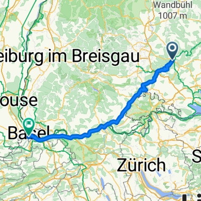 Tuttlingen Basel
- Distance
- 143.4 km
- Ascent
- 497 m
- Descent
- 873 m
- Location
- Tuttlingen, Baden-Wurttemberg, Germany
 Tuttlingen--Amtenhausen-Öfingen-Bachzimmern-Tuttlingen
- Distance
- 40.6 km
- Ascent
- 333 m
- Descent
- 313 m
- Location
- Tuttlingen, Baden-Wurttemberg, Germany
 Von Tuttlingen über Neuhausen ins Donautal
- Distance
- 38.9 km
- Ascent
- 259 m
- Descent
- 260 m
- Location
- Tuttlingen, Baden-Wurttemberg, Germany
 Ausfahrt durch Tuttlingen
- Distance
- 20.8 km
- Ascent
- 220 m
- Descent
- 215 m
- Location
- Tuttlingen, Baden-Wurttemberg, Germany
 Tuttlingen - Radolfzell - Schaffhausen
- Distance
- 75.5 km
- Ascent
- 1,067 m
- Descent
- 1,321 m
- Location
- Tuttlingen, Baden-Wurttemberg, Germany
 Verdauungsfahrt Stock Und Stein
- Distance
- 5.7 km
- Ascent
- 85 m
- Descent
- 85 m
- Location
- Tuttlingen, Baden-Wurttemberg, Germany
Open it in the app