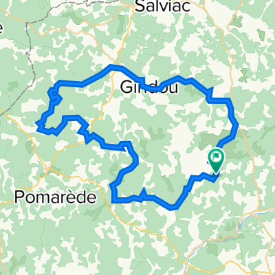
carnac rouffiac
- 108.5 km
- 1,767 m
- 1,844 m
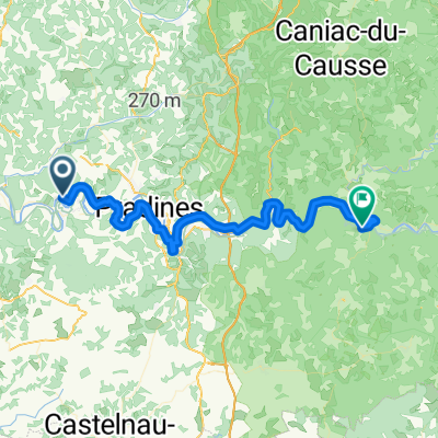
- Luzech, Occitanie, France
A cycling route starting in Luzech, Occitanie, France.
Overview
created this 7 years ago
Route quality
Road
12.8 km
(23 %)
Quiet road
8.9 km
(16 %)
Paved
18.9 km
(34 %)
Asphalt
18.3 km
(33 %)
Paved (undefined)
0.6 km
(1 %)
Undefined
36.6 km
(66 %)
Continue with Bikemap
You would like to ride Luzech - St-Cirq-Lapopie or customize it for your own trip? Here is what you can do with this Bikemap route:
Free trial for 3 days, or one-time payment. More about Bikemap Premium.
Discover more Premium features.
Get Bikemap PremiumFrom our community
Open it in the app