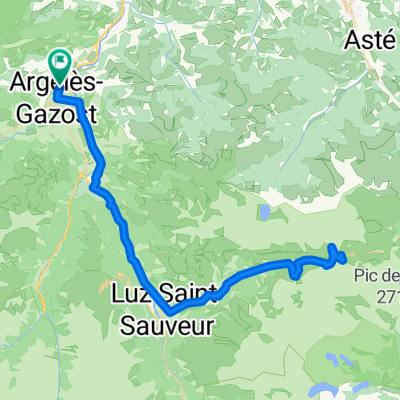
Col de Spandelles (por Ferrières)

A cycling route starting in Argelès-Gazost, Occitanie, France.
OverviewAbout this route
-:--
Duration
10.1 km
Distance
920 m
Ascent
74 m
Descent
---
Avg. speed
---
Max. altitude
Jaume de Diagocreated this 7 years ago
Route qualityWaytypes & surfaces along the route
Waytypes
  • Quiet road

    9.7 km96 %
  • Path

    0.3 km3 %
  • Track

    0.1 km1 %
Surfaces

Paved

9.7 km(96 %)

Unpaved

0.1 km(1 %)
  • Asphalt

    9.7 km96 %
  • Ground

    0.1 km1 %
  • Undefined

    0.3 km3 %
Continue with BikemapUse, edit, or download this cycling route
You would like to ride Col de Spandelles (por Ferrières) or customize it for your own trip? Here is what you can do with this Bikemap route:
Free features
Premium features

Free trial for 3 days, or one-time payment. More about Bikemap Premium.

  • Navigate this route on iOS & Android
  • Export a GPX / KML file of this route
  • Create your custom printout (try it for free)
  • Download this route for offline navigation

Discover more Premium features.

Get Bikemap Premium
From our communityOther popular routes starting in Argelès-Gazost

Open it in the app