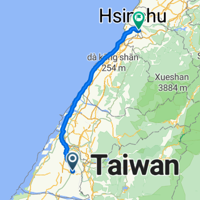
埤頭溪湖二林台糖鐵道
A cycling route starting in Nantou City, Taiwan, Taiwan.
Overview
About this route
- 55 min
- Duration
- 10.3 km
- Distance
- 150 m
- Ascent
- 168 m
- Descent
- 11.3 km/h
- Avg. speed
- ---
- Avg. speed
Route photos
Route quality
Waytypes & surfaces along the route
Waytypes
Access road
4.9 km
(48 %)
Road
3.2 km
(31 %)
Continue with Bikemap
Use, edit, or download this cycling route
You would like to ride 埤頭溪湖二林台糖鐵道 or customize it for your own trip? Here is what you can do with this Bikemap route:
Free features
- Save this route as favorite or in collections
- Copy & plan your own version of this route
- Sync your route with Garmin or Wahoo
Premium features
Free trial for 3 days, or one-time payment. More about Bikemap Premium.
- Navigate this route on iOS & Android
- Export a GPX / KML file of this route
- Create your custom printout (try it for free)
- Download this route for offline navigation
Discover more Premium features.
Get Bikemap PremiumFrom our community
Other popular routes starting in Nantou City
- 二水車程
- Distance
- 33.2 km
- Ascent
- 339 m
- Descent
- 98 m
- Location
- Nantou City, Taiwan, Taiwan
- 埤頭溪湖二林台糖鐵道
- Distance
- 10.3 km
- Ascent
- 150 m
- Descent
- 168 m
- Location
- Nantou City, Taiwan, Taiwan
- 田中-豐柏廣場-受天宮
- Distance
- 10 km
- Ascent
- 413 m
- Descent
- 80 m
- Location
- Nantou City, Taiwan, Taiwan
- 彰化經典百K 2018/03/24
- Distance
- 112.4 km
- Ascent
- 1,530 m
- Descent
- 1,536 m
- Location
- Nantou City, Taiwan, Taiwan
- 田尾-嘉義-阿里山-塔塔加-水里-田尾一日來回300km
- Distance
- 257.7 km
- Ascent
- 2,556 m
- Descent
- 2,556 m
- Location
- Nantou City, Taiwan, Taiwan
- 塔塔加
- Distance
- 108.3 km
- Ascent
- 2,558 m
- Descent
- 360 m
- Location
- Nantou City, Taiwan, Taiwan
- 塔塔加
- Distance
- 185.6 km
- Ascent
- 2,617 m
- Descent
- 2,668 m
- Location
- Nantou City, Taiwan, Taiwan
- 南豐高爾夫至鳳山寺
- Distance
- 3.2 km
- Ascent
- 11 m
- Descent
- 322 m
- Location
- Nantou City, Taiwan, Taiwan
Open it in the app