

marsbrand tour
A cycling route starting in Rannebergen, Västra Götaland County, Sweden.
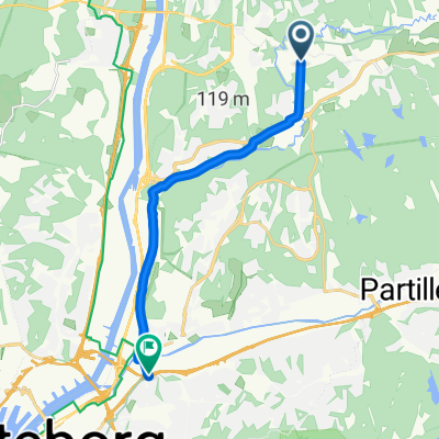
Overview
About this route
- -:--
- Duration
- 82.1 km
- Distance
- 504 m
- Ascent
- 505 m
- Descent
- ---
- Avg. speed
- ---
- Max. altitude
Route quality
Waytypes & surfaces along the route
Waytypes
Path
19.7 km
(24 %)
Quiet road
16.4 km
(20 %)
Surfaces
Paved
73.9 km
(90 %)
Asphalt
73.1 km
(89 %)
Paved (undefined)
0.8 km
(1 %)
Undefined
8.2 km
(10 %)
Continue with Bikemap
Use, edit, or download this cycling route
You would like to ride marsbrand tour or customize it for your own trip? Here is what you can do with this Bikemap route:
Free features
- Save this route as favorite or in collections
- Copy & plan your own version of this route
- Split it into stages to create a multi-day tour
- Sync your route with Garmin or Wahoo
Premium features
Free trial for 3 days, or one-time payment. More about Bikemap Premium.
- Navigate this route on iOS & Android
- Export a GPX / KML file of this route
- Create your custom printout (try it for free)
- Download this route for offline navigation
Discover more Premium features.
Get Bikemap PremiumFrom our community
Other popular routes starting in Rannebergen
 north angered route
- Distance
- 66.9 km
- Ascent
- 358 m
- Descent
- 359 m
- Location
- Rannebergen, Västra Götaland County, Sweden
 Gunnilsevägen, Gunnilse до Stockholmsgatan, Göteborg
- Distance
- 10.7 km
- Ascent
- 38 m
- Descent
- 78 m
- Location
- Rannebergen, Västra Götaland County, Sweden
 Angered hilly
- Distance
- 56.9 km
- Ascent
- 547 m
- Descent
- 546 m
- Location
- Rannebergen, Västra Götaland County, Sweden
 Fjällgrönan 5, Angered do Tagenevägen 66, Göteborg
- Distance
- 8.4 km
- Ascent
- 60 m
- Descent
- 171 m
- Location
- Rannebergen, Västra Götaland County, Sweden
 Fjäderharvsgatan 64, Angered to Parkgatan 65, Göteborg
- Distance
- 15.1 km
- Ascent
- 63 m
- Descent
- 119 m
- Location
- Rannebergen, Västra Götaland County, Sweden
 Björsjöås Gård 10, Olofstorp to Rotenvägen 17, Olofstorp
- Distance
- 3.3 km
- Ascent
- 76 m
- Descent
- 74 m
- Location
- Rannebergen, Västra Götaland County, Sweden
 way back
- Distance
- 6.6 km
- Ascent
- 85 m
- Descent
- 150 m
- Location
- Rannebergen, Västra Götaland County, Sweden
 friday3
- Distance
- 53 km
- Ascent
- 342 m
- Descent
- 345 m
- Location
- Rannebergen, Västra Götaland County, Sweden
Open it in the app