

Hrabůvka_Potstat_Stritez_Hrabuvka_51_870
A cycling route starting in Hranice, Olomoucký kraj, Czechia.
Overview
About this route
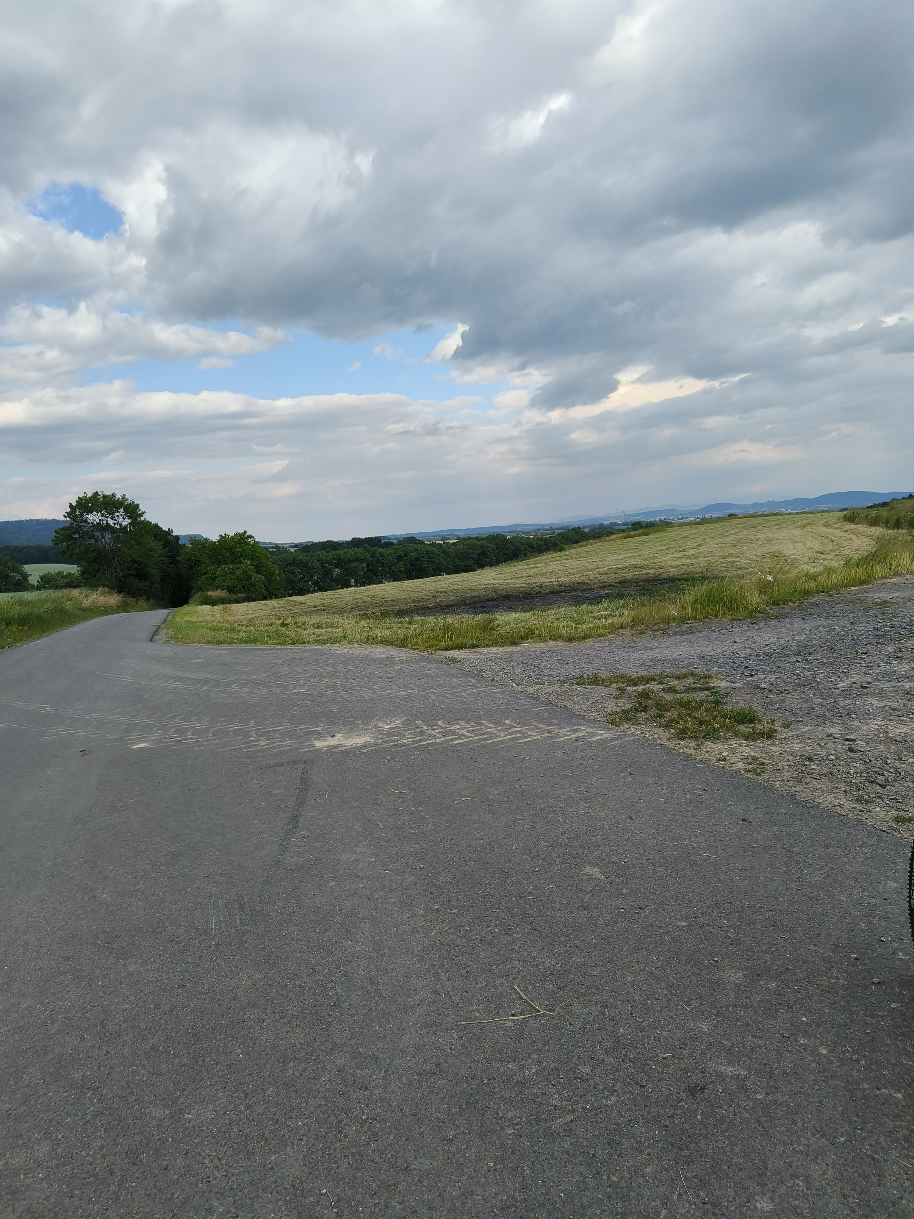
Hrabůvka_Potstat_Jindrichov_Stritez__51_870Hrabuvka
- -:--
- Duration
- 50.5 km
- Distance
- 837 m
- Ascent
- 837 m
- Descent
- ---
- Avg. speed
- ---
- Max. altitude

Route quality
Waytypes & surfaces along the route
Waytypes
Track
27.7 km
(55 %)
Road
13.7 km
(27 %)
Surfaces
Unpaved
15.1 km
(30 %)
Unpaved (undefined)
7.3 km
(15 %)
Gravel
6.9 km
(14 %)
Continue with Bikemap
Use, edit, or download this cycling route
You would like to ride Hrabůvka_Potstat_Stritez_Hrabuvka_51_870 or customize it for your own trip? Here is what you can do with this Bikemap route:
Free features
- Save this route as favorite or in collections
- Copy & plan your own version of this route
- Sync your route with Garmin or Wahoo
Premium features
Free trial for 3 days, or one-time payment. More about Bikemap Premium.
- Navigate this route on iOS & Android
- Export a GPX / KML file of this route
- Create your custom printout (try it for free)
- Download this route for offline navigation
Discover more Premium features.
Get Bikemap PremiumFrom our community
Other popular routes starting in Hranice
 Od Aše po Jablunkov, den 8.: Hranice - Frýdek-Místek
- Distance
- 61.6 km
- Ascent
- 598 m
- Descent
- 527 m
- Location
- Hranice, Olomoucký kraj, Czechia
 Okruh do Jezernice
- Distance
- 37.6 km
- Ascent
- 361 m
- Descent
- 353 m
- Location
- Hranice, Olomoucký kraj, Czechia
 Do Týna na pivo přes Týn a Maleník
- Distance
- 28.3 km
- Ascent
- 437 m
- Descent
- 437 m
- Location
- Hranice, Olomoucký kraj, Czechia
 Svatební cesta do Jiljí den sedmý
- Distance
- 71.3 km
- Ascent
- 278 m
- Descent
- 225 m
- Location
- Hranice, Olomoucký kraj, Czechia
 cyklostezka Rybáře - Osek n.B.
- Distance
- 12.3 km
- Ascent
- 41 m
- Descent
- 54 m
- Location
- Hranice, Olomoucký kraj, Czechia
 10 ETAP 5 czerwca niedziela
- Distance
- 135.9 km
- Ascent
- 658 m
- Descent
- 608 m
- Location
- Hranice, Olomoucký kraj, Czechia
- ostrava hranice 2 du 30 au 31
- Distance
- 31.5 km
- Ascent
- 331 m
- Descent
- 338 m
- Location
- Hranice, Olomoucký kraj, Czechia
 Hranice - Přerov na kole kolem Bečvy
- Distance
- 29.4 km
- Ascent
- 101 m
- Descent
- 147 m
- Location
- Hranice, Olomoucký kraj, Czechia
Open it in the app