

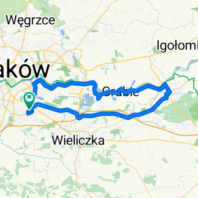
Pętla Kraków-Łączany
A cycling route starting in Krakow, Lesser Poland Voivodeship, Poland.
Overview
About this route
- -:--
- Duration
- 82.9 km
- Distance
- 69 m
- Ascent
- 68 m
- Descent
- ---
- Avg. speed
- ---
- Max. altitude

Route quality
Waytypes & surfaces along the route
Waytypes
Quiet road
22.9 km
(28 %)
Road
20.5 km
(25 %)
Surfaces
Paved
77.5 km
(94 %)
Unpaved
2.2 km
(3 %)
Asphalt
70.4 km
(85 %)
Paved (undefined)
4.5 km
(5 %)
Continue with Bikemap
Use, edit, or download this cycling route
You would like to ride Pętla Kraków-Łączany or customize it for your own trip? Here is what you can do with this Bikemap route:
Free features
- Save this route as favorite or in collections
- Copy & plan your own version of this route
- Split it into stages to create a multi-day tour
- Sync your route with Garmin or Wahoo
Premium features
Free trial for 3 days, or one-time payment. More about Bikemap Premium.
- Navigate this route on iOS & Android
- Export a GPX / KML file of this route
- Create your custom printout (try it for free)
- Download this route for offline navigation
Discover more Premium features.
Get Bikemap PremiumFrom our community
Other popular routes starting in Krakow
 Plac Centralny - Przylasek Rusiecki
- Distance
- 13.9 km
- Ascent
- 11 m
- Descent
- 32 m
- Location
- Krakow, Lesser Poland Voivodeship, Poland
 Włoska 9, Kraków do Włoska 9, Kraków
- Distance
- 51.6 km
- Ascent
- 261 m
- Descent
- 263 m
- Location
- Krakow, Lesser Poland Voivodeship, Poland
 Przyjemna trasa Rondo Czyżyńskie-rynek w Niepołomicach
- Distance
- 20.2 km
- Ascent
- 8 m
- Descent
- 20 m
- Location
- Krakow, Lesser Poland Voivodeship, Poland
 Kraków - Katowice
- Distance
- 135.4 km
- Ascent
- 471 m
- Descent
- 414 m
- Location
- Krakow, Lesser Poland Voivodeship, Poland
 Recovered Route
- Distance
- 37 km
- Ascent
- 262 m
- Descent
- 202 m
- Location
- Krakow, Lesser Poland Voivodeship, Poland
 Dolinki pod Krakowskie
- Distance
- 41.5 km
- Ascent
- 322 m
- Descent
- 325 m
- Location
- Krakow, Lesser Poland Voivodeship, Poland
 Most Grunwaldzki - Błonia - Kryspinów - Kolna - Most Grunwaldzki
- Distance
- 29.2 km
- Ascent
- 123 m
- Descent
- 122 m
- Location
- Krakow, Lesser Poland Voivodeship, Poland
 Kraków - Łączany - Ryczów - Skawina - Kraków
- Distance
- 91.4 km
- Ascent
- 238 m
- Descent
- 238 m
- Location
- Krakow, Lesser Poland Voivodeship, Poland
Open it in the app