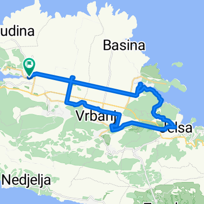
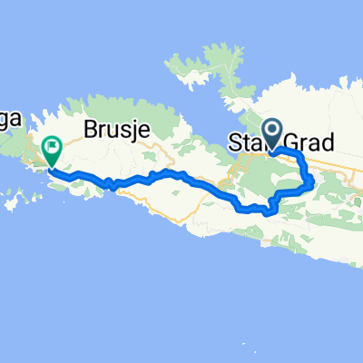
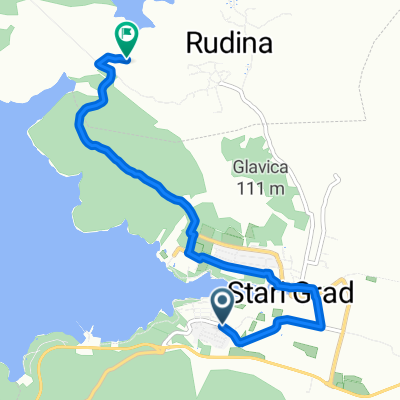
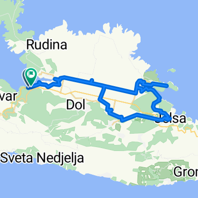
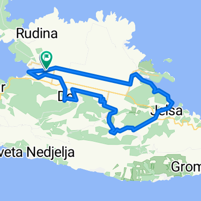
pętla hvar 2
A cycling route starting in Stari Grad, Splitsko-Dalmatinska Županija, Croatia.
Overview
About this route
- -:--
- Duration
- 45.7 km
- Distance
- 1,080 m
- Ascent
- 1,081 m
- Descent
- ---
- Avg. speed
- ---
- Avg. speed
Route quality
Waytypes & surfaces along the route
Waytypes
Track
13.9 km
(30 %)
Road
11.8 km
(26 %)
Surfaces
Paved
13.8 km
(30 %)
Unpaved
6.2 km
(13 %)
Paved (undefined)
9 km
(20 %)
Unpaved (undefined)
6.2 km
(13 %)
Continue with Bikemap
Use, edit, or download this cycling route
You would like to ride pętla hvar 2 or customize it for your own trip? Here is what you can do with this Bikemap route:
Free features
- Save this route as favorite or in collections
- Copy & plan your own version of this route
- Sync your route with Garmin or Wahoo
Premium features
Free trial for 3 days, or one-time payment. More about Bikemap Premium.
- Navigate this route on iOS & Android
- Export a GPX / KML file of this route
- Create your custom printout (try it for free)
- Download this route for offline navigation
Discover more Premium features.
Get Bikemap PremiumFrom our community
Other popular routes starting in Stari Grad
- Sv. Nikolaj
- Distance
- 12.2 km
- Ascent
- 479 m
- Descent
- 479 m
- Location
- Stari Grad, Splitsko-Dalmatinska Županija, Croatia
- INGAMBA DAY 4 NO TUNNEL
- Distance
- 45 km
- Ascent
- 1,048 m
- Descent
- 1,043 m
- Location
- Stari Grad, Splitsko-Dalmatinska Županija, Croatia
- Starigrad - Jelsa - Vrbovska (krožna)
- Distance
- 21.9 km
- Ascent
- 210 m
- Descent
- 210 m
- Location
- Stari Grad, Splitsko-Dalmatinska Županija, Croatia
- pętla hvar 2
- Distance
- 45.7 km
- Ascent
- 1,080 m
- Descent
- 1,081 m
- Location
- Stari Grad, Splitsko-Dalmatinska Županija, Croatia
- Selce - Nikola - Svirce hike TEST
- Distance
- 13.2 km
- Ascent
- 485 m
- Descent
- 546 m
- Location
- Stari Grad, Splitsko-Dalmatinska Županija, Croatia
- Stari Grad - Jelsa
- Distance
- 13.9 km
- Ascent
- 229 m
- Descent
- 232 m
- Location
- Stari Grad, Splitsko-Dalmatinska Županija, Croatia
- stari grad - Medjugorje 3 tappa
- Distance
- 130.5 km
- Ascent
- 1,040 m
- Descent
- 874 m
- Location
- Stari Grad, Splitsko-Dalmatinska Županija, Croatia
- Route 05 Stari Grad - Varbonj - Jelsa - Vrboska - Kabol
- Distance
- 43.9 km
- Ascent
- 508 m
- Descent
- 512 m
- Location
- Stari Grad, Splitsko-Dalmatinska Županija, Croatia