

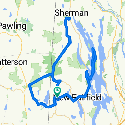
Candlewood lake loop counter clockwise
A cycling route starting in Putnam Lake, New York, United States of America.
Overview
About this route
35 miles
2400 elevation
- -:--
- Duration
- 56.7 km
- Distance
- 590 m
- Ascent
- 586 m
- Descent
- ---
- Avg. speed
- ---
- Avg. speed
Route quality
Waytypes & surfaces along the route
Waytypes
Quiet road
25.7 km
(45 %)
Busy road
25.5 km
(45 %)
Surfaces
Paved
13.8 km
(24 %)
Asphalt
7.3 km
(13 %)
Paved (undefined)
6.6 km
(12 %)
Undefined
42.9 km
(76 %)
Continue with Bikemap
Use, edit, or download this cycling route
You would like to ride Candlewood lake loop counter clockwise or customize it for your own trip? Here is what you can do with this Bikemap route:
Free features
- Save this route as favorite or in collections
- Copy & plan your own version of this route
- Sync your route with Garmin or Wahoo
Premium features
Free trial for 3 days, or one-time payment. More about Bikemap Premium.
- Navigate this route on iOS & Android
- Export a GPX / KML file of this route
- Create your custom printout (try it for free)
- Download this route for offline navigation
Discover more Premium features.
Get Bikemap PremiumFrom our community
Other popular routes starting in Putnam Lake
 bike ride
- Distance
- 9.9 km
- Ascent
- 104 m
- Descent
- 238 m
- Location
- Putnam Lake, New York, United States of America
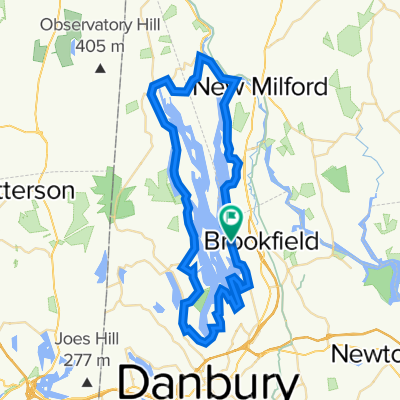 Candlewood lake loop counter clockwise
- Distance
- 56.7 km
- Ascent
- 590 m
- Descent
- 586 m
- Location
- Putnam Lake, New York, United States of America
 From Patterson to Great Barrington
- Distance
- 105.5 km
- Ascent
- 1,454 m
- Descent
- 1,374 m
- Location
- Putnam Lake, New York, United States of America
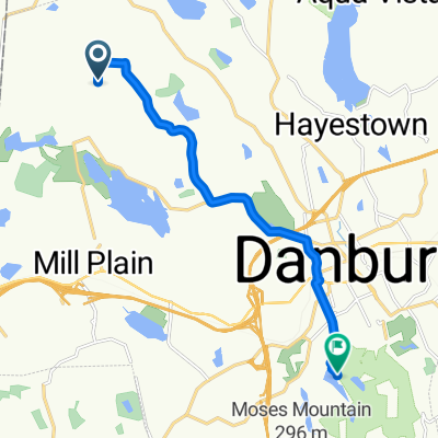
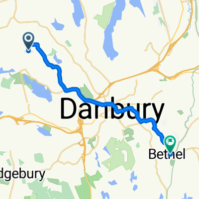
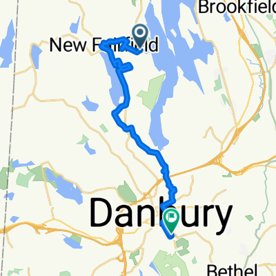 Bear Mountain Rd, New Fairfield to 41 Grand St, Danbury
- Distance
- 18.8 km
- Ascent
- 340 m
- Descent
- 356 m
- Location
- Putnam Lake, New York, United States of America
 boost bowls
- Distance
- 13.7 km
- Ascent
- 82 m
- Descent
- 251 m
- Location
- Putnam Lake, New York, United States of America
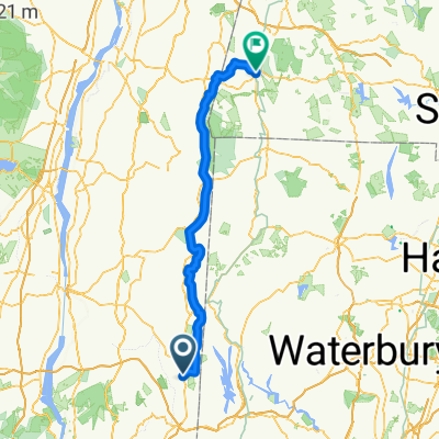
 Ball Pond Rd E, New Fairfield to Ball Pond Rd E, New Fairfield
- Distance
- 69.4 km
- Ascent
- 945 m
- Descent
- 946 m
- Location
- Putnam Lake, New York, United States of America
 Maybrook Trailway, Patterson to Putnam Trailway, Mahopac
- Distance
- 80.7 km
- Ascent
- 615 m
- Descent
- 543 m
- Location
- Putnam Lake, New York, United States of America
Open it in the app