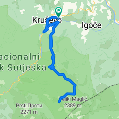
09 - bosnia i hercegowina
- 335.1 km
- 2,084 m
- 2,470 m
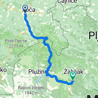
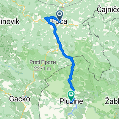
- Foča, Republika Srpska, Bosnia and Herzegovina
A cycling route starting in Foča, Republika Srpska, Bosnia and Herzegovina.
Overview
created this 7 years ago
Route quality
Quiet road
34.1 km
(83 %)
Path
2.1 km
(5 %)
Paved
9.9 km
(24 %)
Unpaved
28.8 km
(70 %)
Gravel
27.9 km
(68 %)
Asphalt
9.9 km
(24 %)
Continue with Bikemap
You would like to ride Tjentiště - Prievor or customize it for your own trip? Here is what you can do with this Bikemap route:
Free trial for 3 days, or one-time payment. More about Bikemap Premium.
Discover more Premium features.
Get Bikemap PremiumFrom our community
Open it in the app