Sächsische-Böhmische-Schweiz - Runde
- 42.5 km
- 394 m
- 394 m
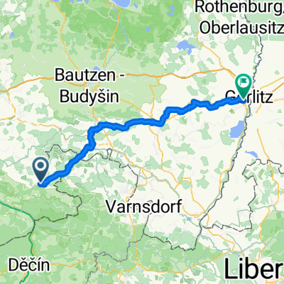
- Sebnitz, Saxony, Germany
A cycling route starting in Sebnitz, Saxony, Germany.
Overview
Hinterhermsdorf I.
created this 7 years ago
Route quality
Track
32.9 km
(68 %)
Quiet road
6.3 km
(13 %)
Paved
23.2 km
(48 %)
Unpaved
24.7 km
(51 %)
Asphalt
23.2 km
(48 %)
Gravel
18.9 km
(39 %)
Continue with Bikemap
You would like to ride Hinterhermsdorf I. or customize it for your own trip? Here is what you can do with this Bikemap route:
Free trial for 3 days, or one-time payment. More about Bikemap Premium.
Discover more Premium features.
Get Bikemap PremiumFrom our community
Open it in the app