Wanderung 12km Lippach
- 12.2 km
- 286 m
- 284 m
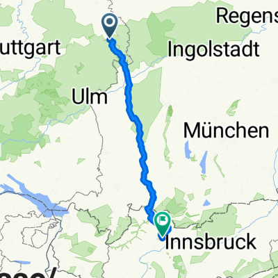
- Lauchheim, Baden-Wurttemberg, Germany
A cycling route starting in Lauchheim, Baden-Wurttemberg, Germany.
Overview
created this 7 years ago
Route quality
Track
23.1 km
(70 %)
Quiet road
3.3 km
(10 %)
Paved
13.9 km
(42 %)
Unpaved
17.5 km
(53 %)
Gravel
15.2 km
(46 %)
Asphalt
10.6 km
(32 %)
Continue with Bikemap
You would like to ride Rodstein Oberkochen-Vorderes Härtsfeld or customize it for your own trip? Here is what you can do with this Bikemap route:
Free trial for 3 days, or one-time payment. More about Bikemap Premium.
Discover more Premium features.
Get Bikemap PremiumFrom our community
Open it in the app