Perche,Les Angles, Creu , LLose
- 46.4 km
- 1,028 m
- 1,023 m
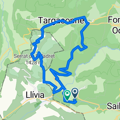
- Osséja, Occitanie, France
A cycling route starting in Osséja, Occitanie, France.
Overview
created this 7 years ago
Route quality
Road
9.1 km
(91 %)
Quiet road
0.4 km
(4 %)
Undefined
0.5 km
(5 %)
Paved
3.5 km
(35 %)
Asphalt
3.5 km
(35 %)
Undefined
6.5 km
(65 %)
Continue with Bikemap
You would like to ride ALTO DE LA ESTACIÓN DE ESQUÍ DE EYNE/CAMBRE D'AZE (por Llo) or customize it for your own trip? Here is what you can do with this Bikemap route:
Free trial for 3 days, or one-time payment. More about Bikemap Premium.
Discover more Premium features.
Get Bikemap PremiumFrom our community
Open it in the app