

tapos
A cycling route starting in Cileungsir, West Java, Indonesia.
Overview
About this route
- 1 h 10 min
- Duration
- 15.9 km
- Distance
- 30 m
- Ascent
- 8 m
- Descent
- 13.7 km/h
- Avg. speed
- ---
- Max. altitude

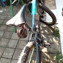
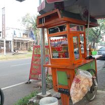
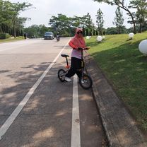
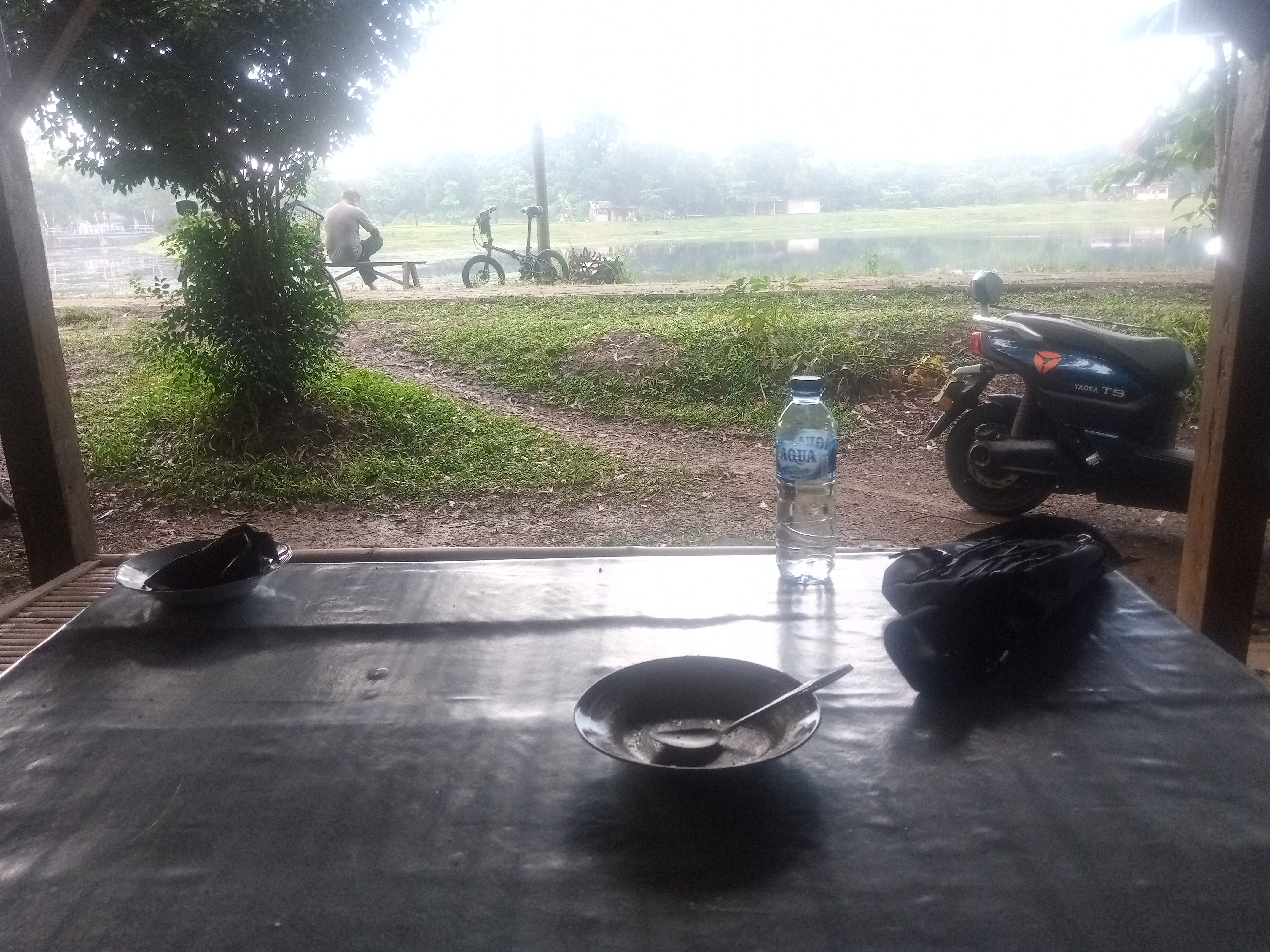
Route photos


Route quality
Waytypes & surfaces along the route
Waytypes
Quiet road
6.2 km
(39 %)
Road
2.2 km
(14 %)
Surfaces
Paved
0.5 km
(3 %)
Unpaved
0.6 km
(4 %)
Unpaved (undefined)
0.6 km
(4 %)
Asphalt
0.5 km
(3 %)
Undefined
14.8 km
(93 %)
Continue with Bikemap
Use, edit, or download this cycling route
You would like to ride tapos or customize it for your own trip? Here is what you can do with this Bikemap route:
Free features
- Save this route as favorite or in collections
- Copy & plan your own version of this route
- Sync your route with Garmin or Wahoo
Premium features
Free trial for 3 days, or one-time payment. More about Bikemap Premium.
- Navigate this route on iOS & Android
- Export a GPX / KML file of this route
- Create your custom printout (try it for free)
- Download this route for offline navigation
Discover more Premium features.
Get Bikemap PremiumFrom our community
Other popular routes starting in Cileungsir
 Jalan Sumur Binong to Jalan Perum Polri
- Distance
- 1.2 km
- Ascent
- 0 m
- Descent
- 4 m
- Location
- Cileungsir, West Java, Indonesia
 Jalan Florida to Jalan Pesona Vancouver UB
- Distance
- 2.3 km
- Ascent
- 4 m
- Descent
- 17 m
- Location
- Cileungsir, West Java, Indonesia
 bersama istri
- Distance
- 10.3 km
- Ascent
- 349 m
- Descent
- 355 m
- Location
- Cileungsir, West Java, Indonesia
 Gowes KoWis Bellevue - Buperta
- Distance
- 40.6 km
- Ascent
- 195 m
- Descent
- 198 m
- Location
- Cileungsir, West Java, Indonesia
 JOB.com seri XII
- Distance
- 37.7 km
- Ascent
- 666 m
- Descent
- 632 m
- Location
- Cileungsir, West Java, Indonesia
 Jalan Cisaat Setu to Jalan Setu Cisaat
- Distance
- 5.8 km
- Ascent
- 21 m
- Descent
- 42 m
- Location
- Cileungsir, West Java, Indonesia
 7 September 2019
- Distance
- 9.4 km
- Ascent
- 26 m
- Descent
- 27 m
- Location
- Cileungsir, West Java, Indonesia
 jajal sepeda lipat teteh
- Distance
- 4.6 km
- Ascent
- 231 m
- Descent
- 332 m
- Location
- Cileungsir, West Java, Indonesia
Open it in the app