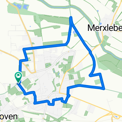
Bad Langensalza - Baumkronenpfad
A cycling route starting in Bad Langensalza, Free State of Thuringia, Germany.
Overview
About this route
- -:--
- Duration
- 11.3 km
- Distance
- 163 m
- Ascent
- 0 m
- Descent
- ---
- Avg. speed
- ---
- Avg. speed
Route quality
Waytypes & surfaces along the route
Waytypes
Track
7.5 km
(67 %)
Road
2.6 km
(23 %)
Surfaces
Paved
4.5 km
(40 %)
Unpaved
5.6 km
(50 %)
Gravel
5.6 km
(50 %)
Asphalt
3.2 km
(29 %)
Continue with Bikemap
Use, edit, or download this cycling route
You would like to ride Bad Langensalza - Baumkronenpfad or customize it for your own trip? Here is what you can do with this Bikemap route:
Free features
- Save this route as favorite or in collections
- Copy & plan your own version of this route
- Sync your route with Garmin or Wahoo
Premium features
Free trial for 3 days, or one-time payment. More about Bikemap Premium.
- Navigate this route on iOS & Android
- Export a GPX / KML file of this route
- Create your custom printout (try it for free)
- Download this route for offline navigation
Discover more Premium features.
Get Bikemap PremiumFrom our community
Other popular routes starting in Bad Langensalza
- 2016-07-16: Unstrut - Hainich (gelb, rot) - Unstrut
- Distance
- 75.2 km
- Ascent
- 358 m
- Descent
- 355 m
- Location
- Bad Langensalza, Free State of Thuringia, Germany
- Bad Langensalzalza nach Sömmerda
- Distance
- 46.5 km
- Ascent
- 144 m
- Descent
- 187 m
- Location
- Bad Langensalza, Free State of Thuringia, Germany
- Hainich Bad Langensalza - Creutzburg - Hörschel - Eisenach
- Distance
- 51.7 km
- Ascent
- 586 m
- Descent
- 549 m
- Location
- Bad Langensalza, Free State of Thuringia, Germany
- LSZ - SW-Runde 1
- Distance
- 21.6 km
- Ascent
- 197 m
- Descent
- 200 m
- Location
- Bad Langensalza, Free State of Thuringia, Germany
- Durch den Hainich
- Distance
- 63.5 km
- Ascent
- 392 m
- Descent
- 319 m
- Location
- Bad Langensalza, Free State of Thuringia, Germany
- LSZ, Craulaer Kreuz, Rennstieg, Eigenrieden, Mühlhausen, LSZ
- Distance
- 80.2 km
- Ascent
- 526 m
- Descent
- 526 m
- Location
- Bad Langensalza, Free State of Thuringia, Germany
- 19_Bad Langensalza – Sömmerda
- Distance
- 43.8 km
- Ascent
- 95 m
- Descent
- 140 m
- Location
- Bad Langensalza, Free State of Thuringia, Germany
- 1.Tag der 3-Tage Tour durch den Hainich
- Distance
- 25.4 km
- Ascent
- 351 m
- Descent
- 197 m
- Location
- Bad Langensalza, Free State of Thuringia, Germany
Open it in the app