

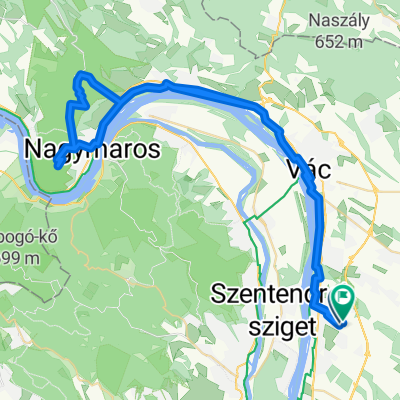
Dunakanyar
A cycling route starting in Göd, Pest County, Hungary.
Overview
About this route
- 9 h 59 min
- Duration
- 114.8 km
- Distance
- 1,977 m
- Ascent
- 1,992 m
- Descent
- 11.5 km/h
- Avg. speed
- ---
- Max. altitude

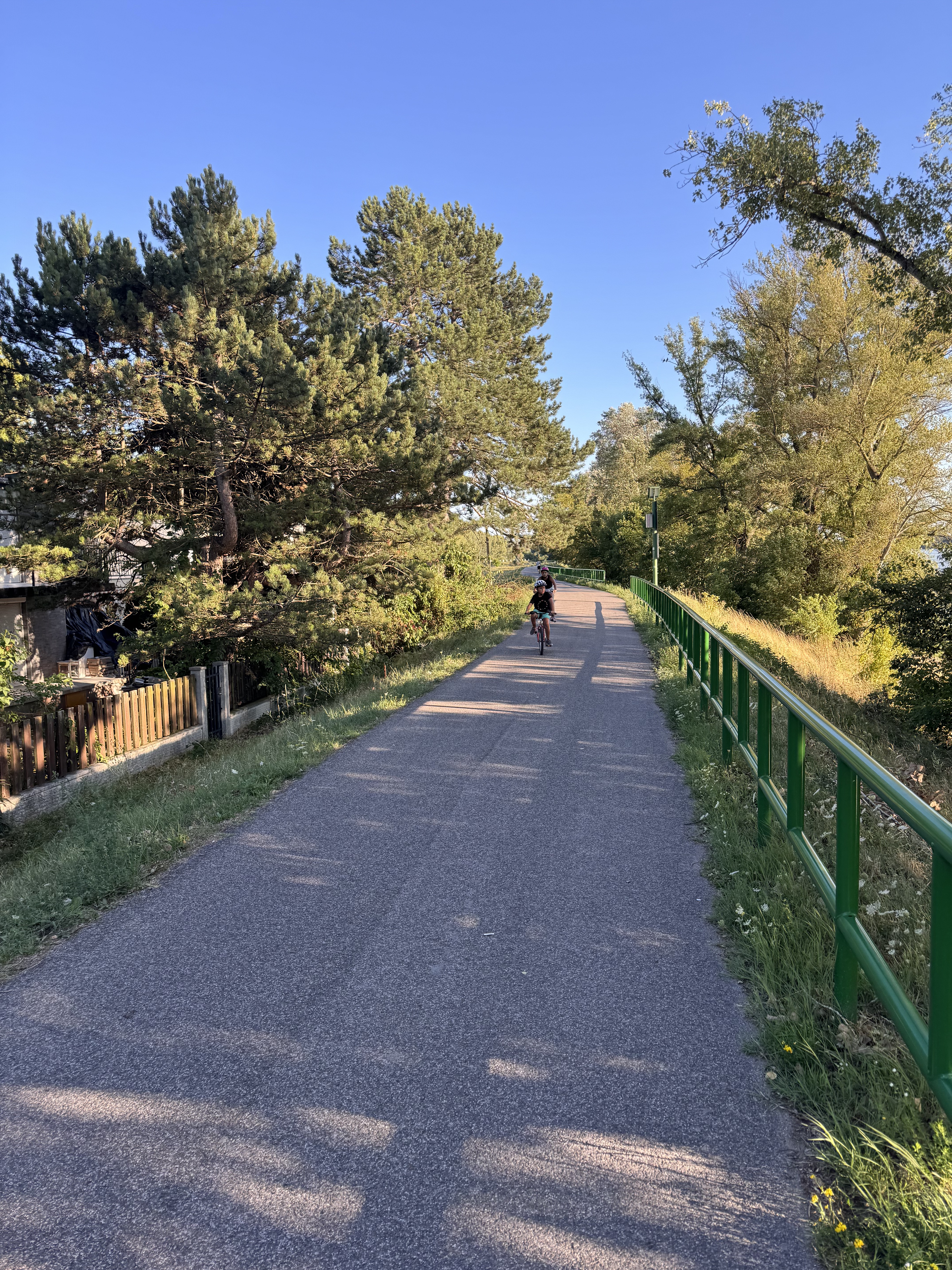
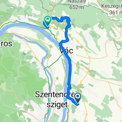
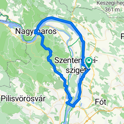
Route photos

Continue with Bikemap
Use, edit, or download this cycling route
You would like to ride Dunakanyar or customize it for your own trip? Here is what you can do with this Bikemap route:
Free features
- Save this route as favorite or in collections
- Copy & plan your own version of this route
- Split it into stages to create a multi-day tour
- Sync your route with Garmin or Wahoo
Premium features
Free trial for 3 days, or one-time payment. More about Bikemap Premium.
- Navigate this route on iOS & Android
- Export a GPX / KML file of this route
- Create your custom printout (try it for free)
- Download this route for offline navigation
Discover more Premium features.
Get Bikemap PremiumFrom our community
Other popular routes starting in Göd
 brutálhőség éknyikorog hűsítő duna Yxb3 🇭🇺
- Distance
- 29.3 km
- Ascent
- 83 m
- Descent
- 36 m
- Location
- Göd, Pest County, Hungary
 Göd biciklizes
- Distance
- 11.7 km
- Ascent
- 64 m
- Descent
- 106 m
- Location
- Göd, Pest County, Hungary
 Pulykaház utca, Göd - Pulykaház utca, Göd
- Distance
- 19.6 km
- Ascent
- 40 m
- Descent
- 41 m
- Location
- Göd, Pest County, Hungary
 Szentendre - sziget kör
- Distance
- 50.3 km
- Ascent
- 81 m
- Descent
- 81 m
- Location
- Göd, Pest County, Hungary
 Törökmező
- Distance
- 69.6 km
- Ascent
- 712 m
- Descent
- 713 m
- Location
- Göd, Pest County, Hungary
 Útvonal innen: Ady Endre út
- Distance
- 27.9 km
- Ascent
- 266 m
- Descent
- 289 m
- Location
- Göd, Pest County, Hungary
 От Arany János utca 12, Göd до Molnár utca 2, Nagymaros
- Distance
- 31.1 km
- Ascent
- 56 m
- Descent
- 78 m
- Location
- Göd, Pest County, Hungary
 visegrádi kör
- Distance
- 75.6 km
- Ascent
- 755 m
- Descent
- 754 m
- Location
- Göd, Pest County, Hungary
Open it in the app