


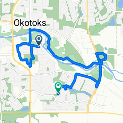
South Yyc to Heritage park
A cycling route starting in Okotoks, Alberta, Canada.
Overview
About this route
2
- -:--
- Duration
- 21 km
- Distance
- 125 m
- Ascent
- 87 m
- Descent
- ---
- Avg. speed
- ---
- Max. altitude
Terrence Goodwin
created this 8 years ago
Route quality
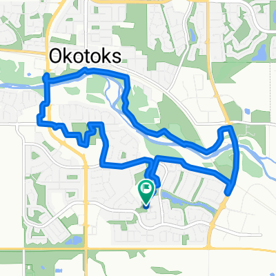
Waytypes & surfaces along the route
Waytypes
Cycleway
12 km
57 %
Quiet road
4.2 km
20 %
Surfaces
Paved
18.9 km
(90 %)
Asphalt
17.3 km
82 %
Paved (undefined)
1.1 km
5 %
Continue with Bikemap
Use, edit, or download this cycling route
You would like to ride South Yyc to Heritage park or customize it for your own trip? Here is what you can do with this Bikemap route:
Free features
- Save this route as favorite or in collections
- Copy & plan your own version of this route
- Sync your route with Garmin or Wahoo
Premium features
Free trial for 3 days, or one-time payment. More about Bikemap Premium.
- Navigate this route on iOS & Android
- Export a GPX / KML file of this route
- Create your custom printout (try it for free)
- Download this route for offline navigation
Discover more Premium features.
Get Bikemap PremiumFrom our community
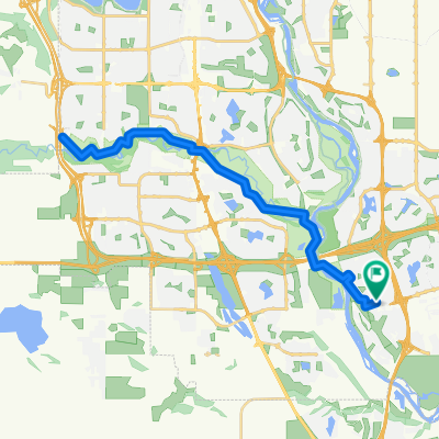
Other popular routes starting in Okotoks

 Auburn Springs Close SE, Calgary to Auburn Springs Close SE, Calgary0
- 13.8 km
- 113 m
- 114 m
- Okotoks, Alberta, Canada


Open it in the app