

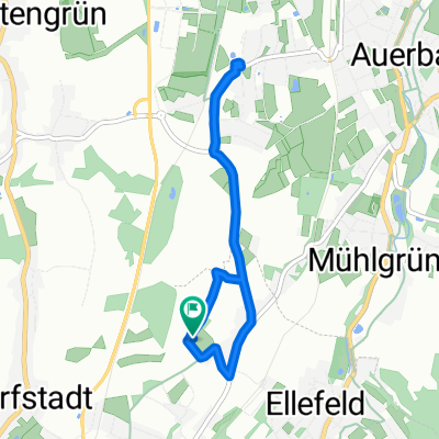
göltschtalradweg etape1
A cycling route starting in Ellefeld, Saxony, Germany.
Overview
About this route
- 51 min
- Duration
- 12 km
- Distance
- 133 m
- Ascent
- 294 m
- Descent
- 14 km/h
- Avg. speed
- ---
- Max. altitude

Route quality
Waytypes & surfaces along the route
Waytypes
Track
5.1 km
(43 %)
Quiet road
2.5 km
(21 %)
Surfaces
Paved
5.6 km
(47 %)
Unpaved
3.7 km
(31 %)
Asphalt
5.6 km
(47 %)
Gravel
3.2 km
(27 %)
Continue with Bikemap
Use, edit, or download this cycling route
You would like to ride göltschtalradweg etape1 or customize it for your own trip? Here is what you can do with this Bikemap route:
Free features
- Save this route as favorite or in collections
- Copy & plan your own version of this route
- Sync your route with Garmin or Wahoo
Premium features
Free trial for 3 days, or one-time payment. More about Bikemap Premium.
- Navigate this route on iOS & Android
- Export a GPX / KML file of this route
- Create your custom printout (try it for free)
- Download this route for offline navigation
Discover more Premium features.
Get Bikemap PremiumFrom our community
Other popular routes starting in Ellefeld
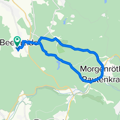
 von Ellefeld über die Bahnstrecke Falkenstein nach Oelsnitz
- Distance
- 21.2 km
- Ascent
- 190 m
- Descent
- 298 m
- Location
- Ellefeld, Saxony, Germany
 Garten Rewe zurück
- Distance
- 5.5 km
- Ascent
- 67 m
- Descent
- 64 m
- Location
- Ellefeld, Saxony, Germany
 Falkenstein über Kuhberg Rodewisch zurück
- Distance
- 39.4 km
- Ascent
- 567 m
- Descent
- 554 m
- Location
- Ellefeld, Saxony, Germany
 Auerbach/Vogtland nach Buchenweg 5, Auerbach/Vogtland
- Distance
- 13.3 km
- Ascent
- 79 m
- Descent
- 185 m
- Location
- Ellefeld, Saxony, Germany
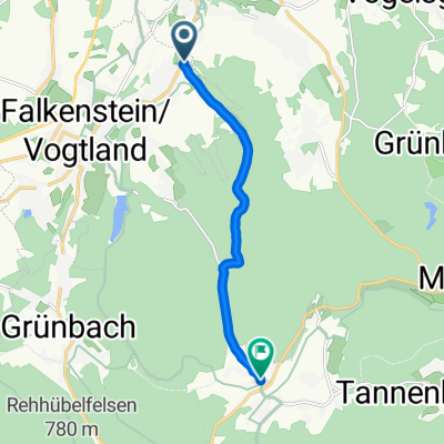
 Gerade Fahrt in
- Distance
- 5.9 km
- Ascent
- 113 m
- Descent
- 146 m
- Location
- Ellefeld, Saxony, Germany
 göltschtalradweg etape1
- Distance
- 12 km
- Ascent
- 133 m
- Descent
- 294 m
- Location
- Ellefeld, Saxony, Germany
 eibenstock
- Distance
- 20 km
- Ascent
- 439 m
- Descent
- 291 m
- Location
- Ellefeld, Saxony, Germany
 Gemütliche Route in Muldenhammer
- Distance
- 6.7 km
- Ascent
- 257 m
- Descent
- 64 m
- Location
- Ellefeld, Saxony, Germany
Open it in the app